The archive  ·  browse by tag

United Kingdom

Everything in the archive tagged "United Kingdom". Restored from original vintage pieces, high resolution, and licensed for your creative projects.

50,000+
Beautiful assets
179
Curated collections
1720–1925
Centuries of style
Decorative Postcard Sample With Stamp And Handwriting Overlay
British Penny Stamp with Handwritten Script – Postal Ephemera Collage
19 MAR 2025 PNG
Decorative Line Art Illustration of a Royal Crown with Jewels No.2
British Royal Crown with Cross and Orb – Engraved Style
24 NOV 2022 PNG
Southwest England And South Wales Color County Map - Bristol Channel With Many Labels, Railways, And Hachured Relief
England and Wales Regional Map – Bristol Channel and Welsh Counties
27 AUG 2024 JPG
19th Century Central Scotland Map Featuring Glasgow And Edinburgh
Central Scotland Map – Encyclopaedia Britannica with Terrain Detail
27 AUG 2024 JPG
Antique Map Of Western England And Wales Including Detailed Regional Boundaries
England and Wales Regional Map – Encyclopaedia Britannica
27 AUG 2024 JPG
Vintage Map Of Northern England And Wales Highlighting Major Cities And Geographic Features
Northern England and Wales Map – Atlas Plate with Liverpool and Manchester Insets
27 AUG 2024 JPG
Vintage Heraldry Naval Flag With The Union Jack Line Art
Union Jack Flag on Pole – Engraved British Flag with Waving Detail
2 SEP 2024 PNG
1895 Vintage Illustration - Princes Street in Edinburgh - West End
Princes Street Edinburgh – West End Victorian Cityscape with Castle
12 DEC 2022 JPG
Vintage Heraldry Naval Flag With The Union Jack
Union Jack Flag on Pole with Tassel – Engraved Military Style
2 SEP 2024 PNG
Antique Maps Of England- 1880 Encyclopedia Britannica
Britain and England Historical Maps – Anglo-saxon Kingdoms and Celtic Territories
8 FEB 2022 JPG
Vintage Map of England and Wales - 1880
England and Wales County Map – Encyclopedia Britannica Plate
8 FEB 2022 JPG
VINTAGE Colour Map of England and Wales - Antique Print 1800's
England and Wales Railway Map – Victorian Era with County Boundaries
8 FEB 2022 JPG
Derby Vintage Map - Encyclopedia Britannica 1880
Derbyshire County Map – Encyclopaedia Britannica Engraved Plate
8 FEB 2022 JPG
ANTIQUE Map of England and Wales. 1880 Stock Image - Maps - Century Library
England and Wales Map – Victorian Railway and County Boundaries
15 DEC 2020 JPG
MAPS - Antique Map of ENGLAND & WALES from RARE Abraham REES Cyclopaedia
England and Wales Map – Engraved County Boundaries with Coastal Detail
10 DEC 2020 JPG
Vintage Map of Shropshire, Stafford & Cheshire - 1880
Shropshire, Stafford & Cheshire County Map – Encyclopaedia Britannica Plate
8 FEB 2022 JPG
Vintage Map of Hertford - 1880 Encyclopedia Britannica
Hertfordshire County Map – Encyclopedia Britannica Ninth Edition
8 FEB 2022 JPG
Vintage Map of Lancashire - Encyclopedia Britannica Ninth Edition
Lancashire County Map – Encyclopaedia Britannica Engraved Plate
8 FEB 2022 JPG
VINTAGE MAP Scotland, Great Britain. Vintage 1880 Stock Image - Maps - Century Library
Scotland Map with Counties and Railways – Victorian Atlas Plate
15 DEC 2020 JPG
ANTIQUE Map of Great Britain and Ireland - 1851 Original Print
British Isles Map with Malta, Gibraltar, and Harbor Insets – German Atlas Plate
16 DEC 2020 JPG
VINTAGE Map of England and Wales, Northern Part - 1902 Antique Print
England and Wales Northern Region Map – Victorian Atlas Plate with City Insets
8 FEB 2022 JPG
VINTAGE Map of England and Wales, Section VI - 1902 Antique Print
England and Wales Regional Map – Bristol Channel and Welsh Counties
8 FEB 2022 JPG
VINTAGE Map of Scotland, Central Part - 1902 Antique Print
Central Scotland Map – Encyclopedia Britannica with Terrain Shading
8 FEB 2022 JPG
1880 Vintage Print - Coalfields of Great Britain
Coal Fields of Great Britain – Geological Survey Map From Encyclopaedia Britannica
8 FEB 2022 JPG
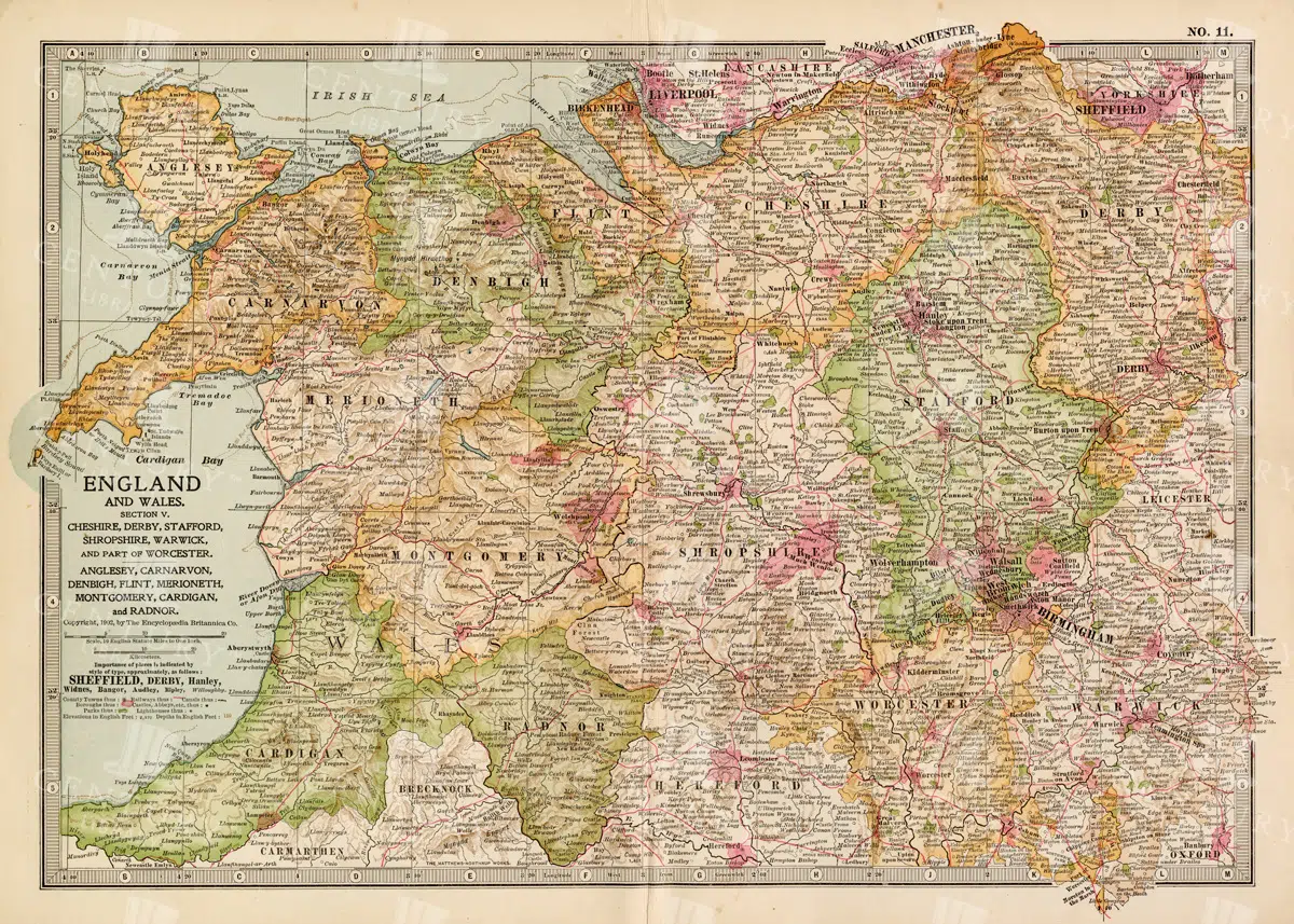
VINTAGE Map of England and Wales, Section V - 1902 Antique Print
England and Wales Regional Map – Encyclopaedia Britannica
8 FEB 2022 JPG
VINTAGE Map of England, Section III - 1902 Encyclopedia Britannica
England Midlands County Map – Nottingham Leicester Cambridge Norfolk
8 FEB 2022 JPG
ANTIQUE Map of Great Britain and Ireland - Old Encyclopedia Print
British Isles Map with London Inset – German Encyclopedia Plate
8 FEB 2022 JPG