The archive  ·  browse by tag

France

Everything in the archive tagged "France". Restored from original vintage pieces, high resolution, and licensed for your creative projects.

50,000+
Beautiful assets
179
Curated collections
1720–1925
Centuries of style
Vintage Map Of Europe Showing Key Regions And Countries
Europe Political Map – Color-coded Nations with Decorative Border
27 AUG 2024 JPG
Central Europe Travel Map With Railways And Sea Routes - France, Germany, Austria-hungary, And Surrounding Regions
Central Europe Travel Map – Railway Routes and National Boundaries
27 AUG 2024 JPG
Antique Map Of Northern France Including The English Channel And Paris
Northern France Regional Map with Paris Inset – Encyclopedic Atlas Plate
27 AUG 2024 JPG
Historical Map Of North-central France Including The Vicinity Of Paris
France Regional Map – North Central Portion with Paris and Provinces
27 AUG 2024 JPG
Old Line Art Illustration of the Eiffel Tower
Eiffel Tower Engraved Line Drawing – Paris Landmark
14 JUL 2022 PNG
French Tricolor Flags and Medical Cross Banners with Ceremonial Arrows and Quill Motifs - Heraldic Standards in Linework
French Tricolor Flags and Medical Cross Banners with Ceremonial Arrows and Quill Motifs – Heraldic Standards in Linework
8 NOV 2025 PNG
Architectural Vignettes of Monuments
Architectural Vignettes of Monuments, Arches, Domes, and Cathedrals – Facades, Obelisks, Pyramids, Island Abbey
8 NOV 2025 PNG
Vintage Map Of Southern France Featuring Marseille And The Mediterranean Coast
Southern France Map with Marseille Inset – Regional Atlas Plate
27 AUG 2024 JPG
Allegorical Female Profile with Laurel Wreath and Winged Helmet - French Rooster Emblems and 'gallia' Plaques
Allegorical Female Profile with Laurel Wreath and Winged Helmet – French Rooster Emblems and ‘gallia’ Plaques
8 NOV 2025 PNG
007713
French Postcard – Street Scene with Green Stamp and Postmark
24 MAY 2026 PNG
Encyclopedia Britannica 1880 - Vintage Map of Paris
Paris City Map – Encyclopedia Britannica Street Plan with Seine River
8 FEB 2022 JPG
Valenciennes City Map - Fortified Town Plan with Canals and Crests
Valenciennes City Map – Fortified Town Plan with Canals and Crests
7 JUL 2026 JPG
VINTAGE 1877 Print - The Strassburger Muenster
Strasbourg Cathedral Square – Gothic Architecture with City Scene
8 FEB 2022 JPG
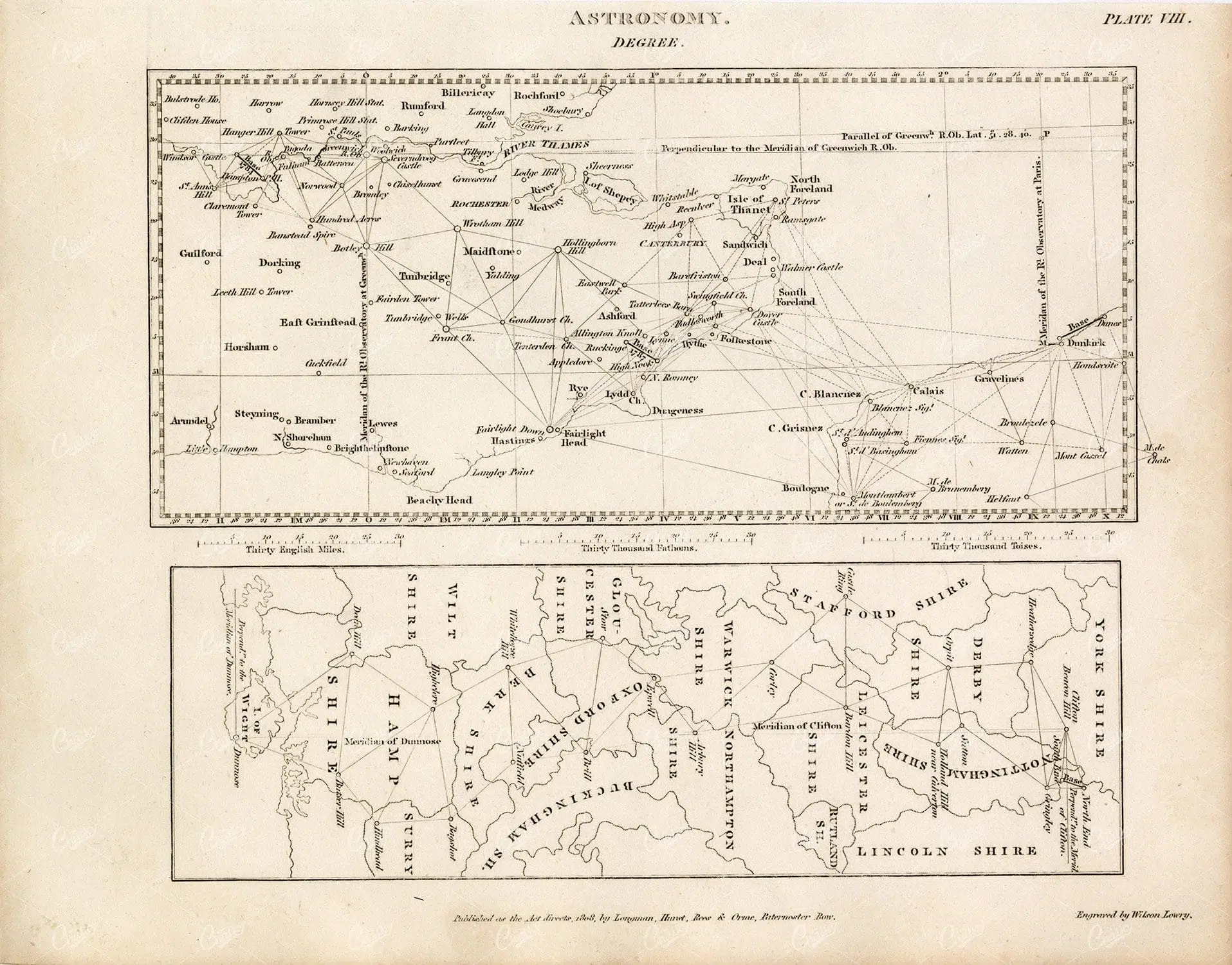
Astronomy Vintage Print - Degree - 1800s Rees' Encyclopedia
English Channel Survey Map – Triangulation Grid From Astronomy Plate
8 FEB 2022 JPG
France Departmental Map - 19th Century German Engraving With Index
France Departmental Map – 19th Century German Engraving with Index
16 DEC 2020 JPG
1880 Vintage Print - Antique Map of Europe
Europe Map From Encyclopaedia Britannica – Ninth Edition Political Boundaries
8 FEB 2022 JPG
GEOGRAPHY - Map of Paris and Environs - Antique 1851 Print by J. Heck
Paris City Map – 19th Century Street Plan with Seine River
16 DEC 2020 JPG
Vintage Map of France - Encyclopedia Britannica 1880
France Departments Map – Encyclopaedia Britannica Color Engraving
8 FEB 2022 JPG
England and France Vintage map - Encyclopedia Britannica
Medieval Map of England and France – Henry Ii Territories 1154
8 FEB 2022 JPG
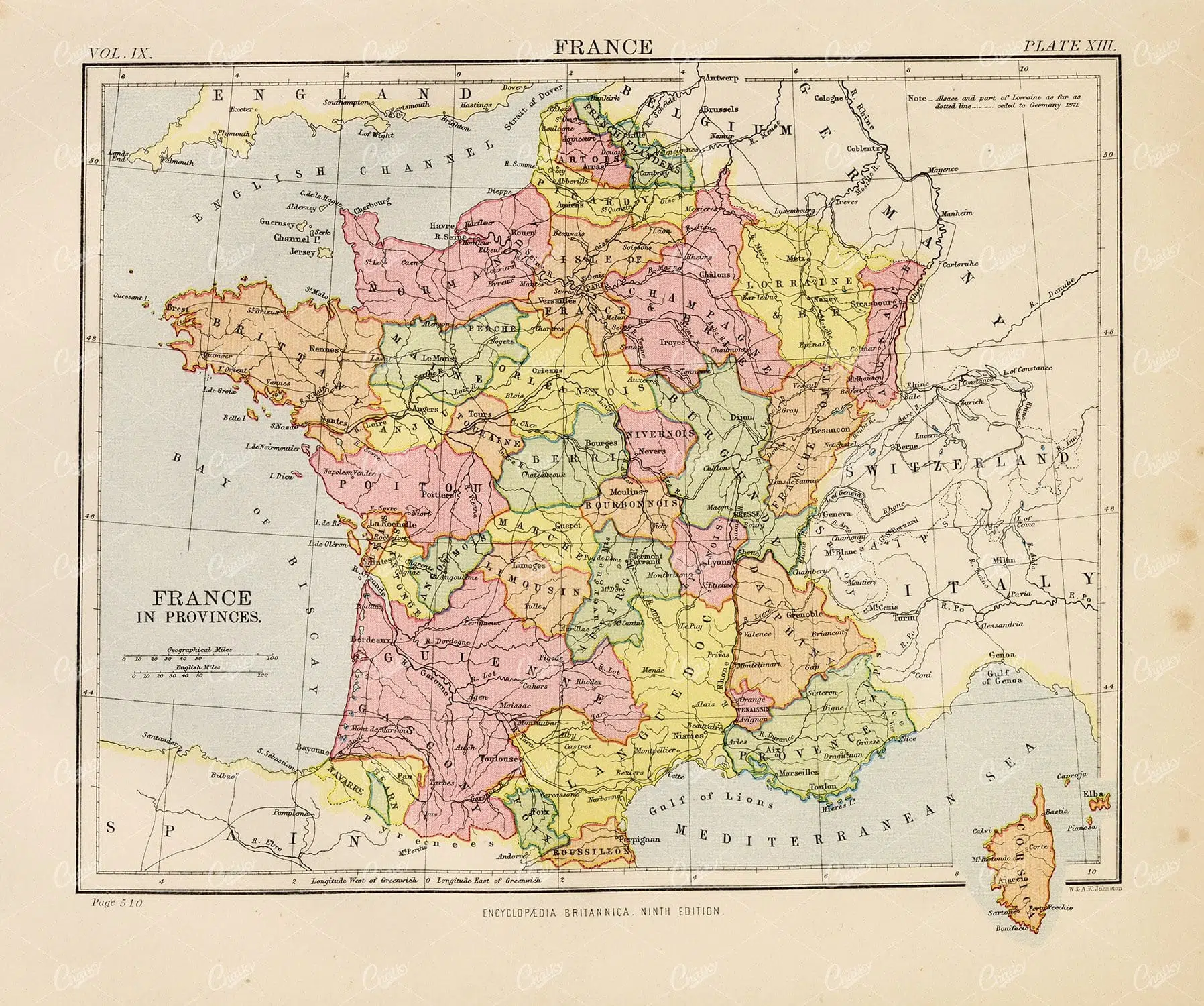
Vintage Map of France - Encyclopedia Britannica 1880
France Provincial Map – Encyclopaedia Britannica Color Engraving
8 FEB 2022 JPG
England and France Vintage map - Encyclopedia Britannica
England and France After the Treaty of Bretigny 1360 – Medieval Territory Map
8 FEB 2022 JPG
VINTAGE German Print 1877 - The Cirque de Gavarnie in the Pyrenees
Pyrenees Mountain Valley with Waterfall – Cirque De Gavarnie Engraving
8 FEB 2022 JPG
GEOLOGY - Mountains, Volcano, Geyser - Johann Heck Antique 1851 Print
Geological Survey Plate – Mountains, Strata, and Paris Basin Map
16 DEC 2020 JPG
ANTIQUE Map - Railroads of Central Europe - Original 1851 Fold Out Print
Railway Map of Central Europe – 19th Century German Engraving with Terrain Detail
16 DEC 2020 JPG
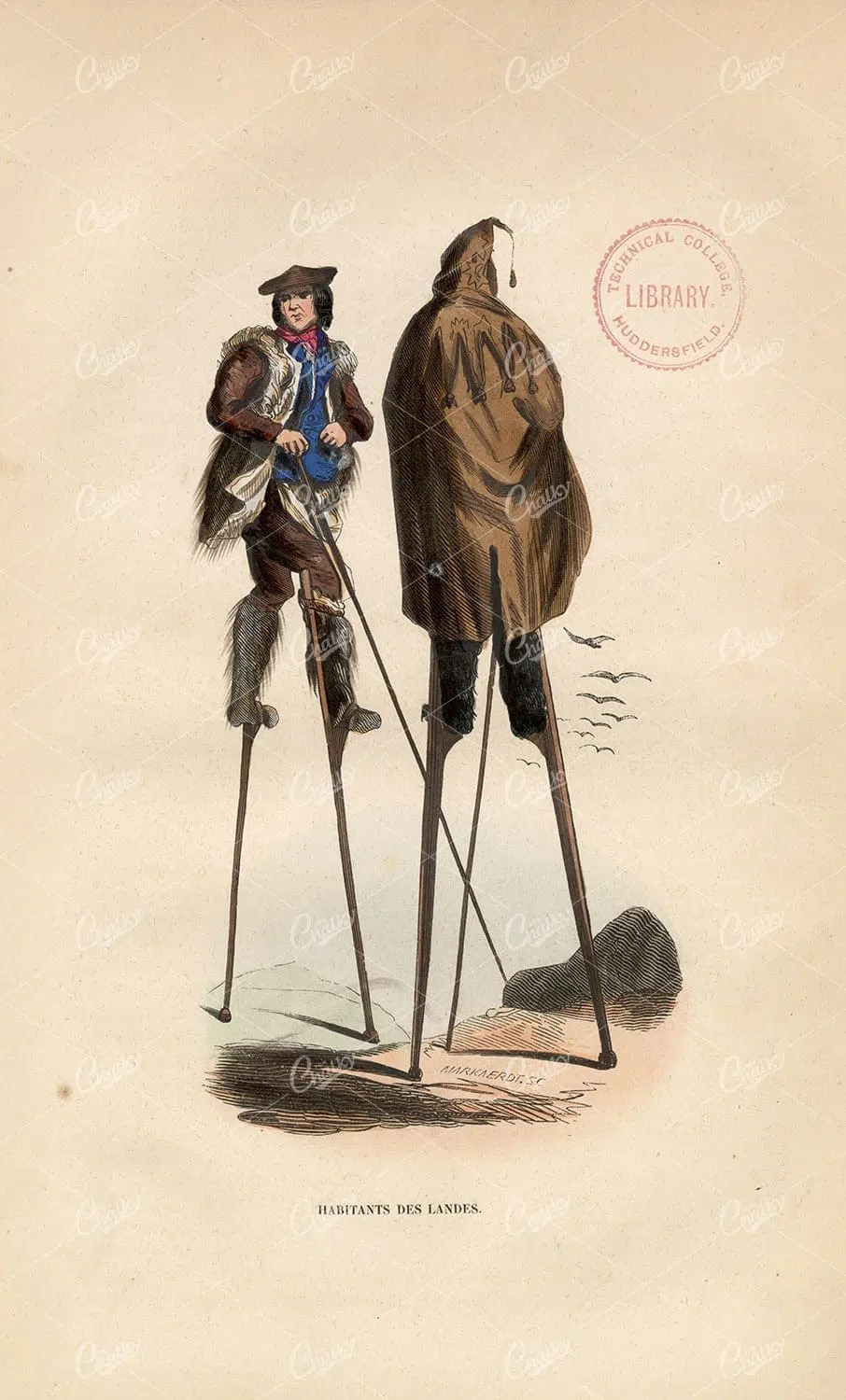
INHABITANTS OF THE MOORS - Antique Handcoloured Native Fashion 1843
French Shepherds on Stilts – Landes Region Traditional Costume
15 DEC 2020 JPG
MAPS - Antique Map of FRANCE from RARE Abraham REES Encyclopaedia 1800s
France Map with Departments and Regions – Engraved Cartography
10 DEC 2020 JPG
EUROPE Map, Antique 1880 Stock Image. William Mackenzie - Maps - Century Library
Europe Political Map – Hand-colored 19th Century Atlas Plate
15 DEC 2020 JPG
FRANCE in Departments, Vintage 1880 Map. - Maps - Century Library
France Departmental Map – Hand-colored Provincial Boundaries
15 DEC 2020 JPG
Europe Political Map With Pastel Territorial Borders And Shaded Relief - Dense Place Names, Seas, And Graduated Frame
Europe Political Map – Early 20th Century Atlas Plate with Color Borders
8 FEB 2022 JPG
Map Of Europe - 19th Century Engraved Atlas Plate With Grid Lines
Map of Europe – 19th Century Engraved Atlas Plate with Grid Lines
14 NOV 2022 JPG
VINTAGE Map of France - Rees' Encyclopedia 1800s
France Map with Regional Departments – Engraved 19th Century Cartography
8 FEB 2022 JPG
VINTAGE Map of France, Northern Part - 1902 Encyclopedia Britannica
Northern France Map with Paris Inset – Regional Provinces and Railways
8 FEB 2022 JPG
VINTAGE Map of France, North Central Portion - 1902 Antique Print
France North Central Region Map – Paris and Surrounding Departments
8 FEB 2022 JPG
EUROPE, France, Alsacian Female - Antique Handcoloured Native Fashion
Alsatian Woman in Traditional Dress – French Regional Costume Study
15 DEC 2020 JPG
EUROPE Map at the Dismemberment of the Carlovingian Empire, 1880 - Maps - Century Library
Medieval Europe Map – Carolingian Empire with Hand-colored Borders
15 DEC 2020 JPG