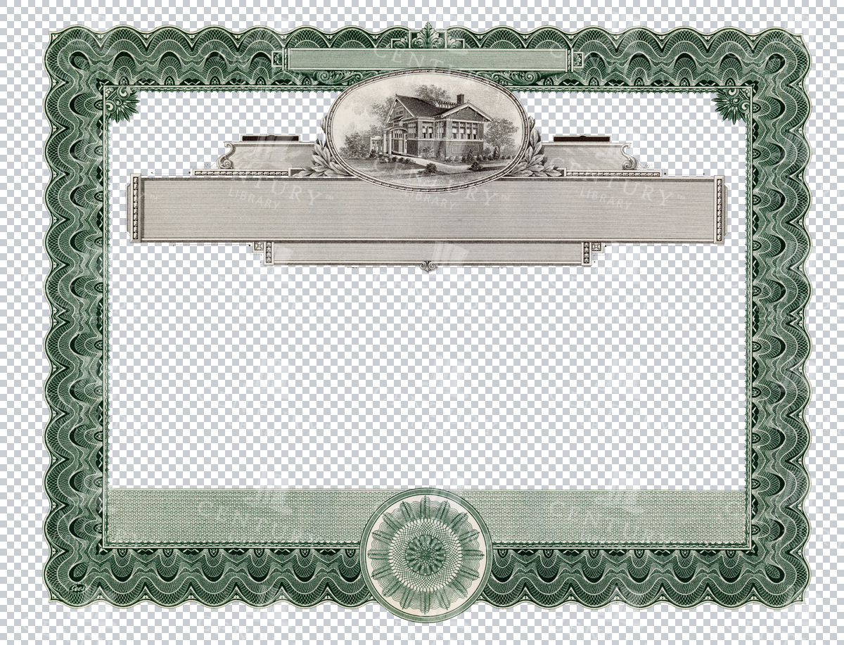

Detailed Certificate Frame with Architectural Illustration
This image showcases a green vintage certificate frame with an architectural illustration at the top center, ideal for diplomas or special awards. It is a transparent PNG file with elegant decorative elements.
- Image Type(s): PNG
- Antique
- Architectural
- Artwork
- Award
- Border
- certificate
- classic
- decor
- Decoration
- Decorative
- Design
- diploma
- editable
- elegant
- Embellishment
- embroidery
- Engraving
- Floral
- Frame
- Graphic
- Green
- guilloche
- illustration
- Layout
- nostalgic
- old-fashioned
- Ornament
- Ornate
- Pattern
- PNG
- printable
- retro
- scrollwork
- Stationery
- stylish
- Template
- transparent
- Victorian
- vintage
From this collection
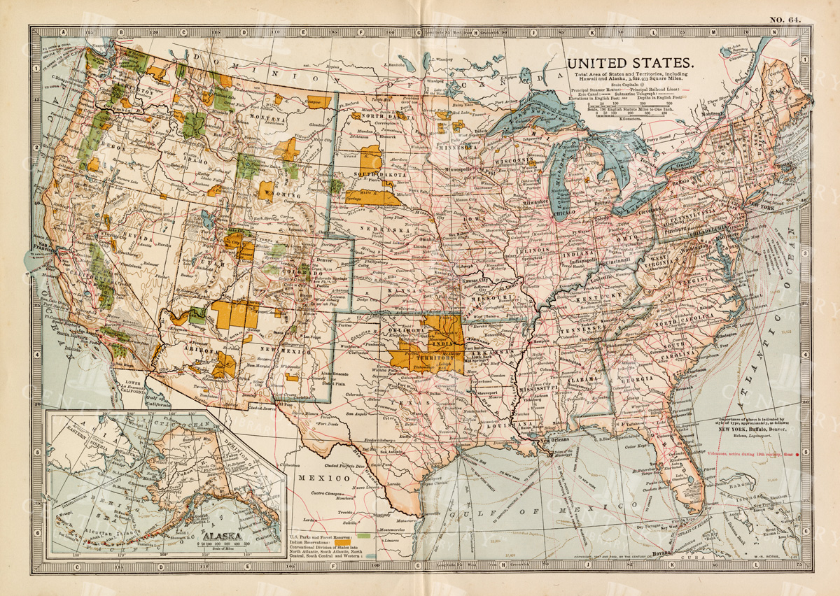

Antique Map of the United States
Detailed antique map of the United States showing states, territories, railroads, and cities, with inset of Alaska. Includes topographical features, rivers, and mountain ranges.
- Resolution: 7275 x 5100
- Image Type(s): JPG
- state lines
- united states map
- nostalgic
- america map
- cartographer
- reference
- archival
- USA
- topographical
- mountain ranges
- railroads
- cities
- antique map
- historical map
- territories
- exploration
- old map
- cartography
- vintage map
- American history
- transportation
- states
- historic
- education
- 19th-century
- collectible
- historical
- detailed
- heritage
- illustration
- vintage
- Atlantic Ocean
- Antique
- History
- Alaska
- Pacific Ocean
- Geography
- United States
- America
- Rivers
- Map
- Borders
From this collection


Dual Pane Certificate Design with Ornate Top Centerpiece
A unique dual-pane certificate design featuring a highly ornate top centerpiece, perfect for creating elegant certificates, awards, or official documents. The design is in a classic green with intricate detailing.
- Image Type(s): PNG
- Antique
- Artwork
- Award
- Border
- centerpiece
- certificate
- classic
- Decorative
- Design
- document
- dual-pane
- editable
- elegant
- Embellishment
- Engraving
- Floral
- Frame
- Graphic
- Green
- guilloche
- illustration
- Intricate
- Layout
- nostalgic
- old-fashioned
- Ornament
- Ornate
- Pattern
- PNG
- printable
- retro
- scrollwork
- Stationery
- stylish
- Template
- transparent
- Victorian
- vintage
From this collection


Green Decorative Certificate Border with Victorian Corners
A green certificate border with ornate Victorian corners, offering a vintage look for special documents, awards, or certificates. Transparent and editable, perfect for DIY designs.
- Image Type(s): PNG
From this collection


Elegant Certificate Frame with Circular Seal Elements
This vintage certificate frame in green features circular seal elements on the sides, ideal for adding a professional and classical touch to diplomas, awards, and official documents.
- Image Type(s): PNG
- Antique
- Art
- Artwork
- Award
- Border
- certificate
- circular
- classic
- classical
- Decoration
- Decorative
- Design
- diploma
- document
- editable
- elegant
- Embellishment
- Engraving
- Floral
- Frame
- Graphic
- Green
- guilloche
- illustration
- Layout
- nostalgic
- old-fashioned
- Ornament
- Ornate
- Pattern
- PNG
- printable
- professional
- retro
- scrollwork
- Seals
- Stationery
- stylish
- Template
- transparent
- vintage
From this collection


Vintage Green Certificate Border with Intricate Patterns
A high-resolution transparent PNG of a vintage certificate border in green. It features detailed and intricate designs, perfect for creating classic and antique-styled documents or awards.
- Image Type(s): PNG
- Antique
- Art
- Award
- Border
- certificate
- classic
- decor
- Decorative
- Design
- document
- editable
- elegant
- Embellishment
- Engraving
- Floral
- Frame
- Graphic
- Green
- guilloche
- high resolution
- illustration
- Intricate
- Layout
- nostalgic
- old-fashioned
- Ornament
- Ornate
- Pattern
- PNG
- printable
- retro
- scrollwork
- Stationery
- stylish
- Template
- transparent
- Victorian
- vintage
From this collection
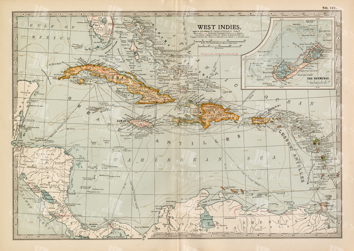

Antique Map of the West Indies
Historical antique map of the West Indies, showcasing islands like Cuba, Jamaica, and Puerto Rico, with detailed nautical routes, ports, and topography. Includes inset of Bermuda. 19th century cartography.
- Resolution: 7279 x 5100
- Image Type(s): JPG
- nostalgic
- cartographer
- cuba
- puerto rico
- nautical routes
- ports
- bermuda
- islands map
- sea routes
- bermuda map
- west indies map
- island history
- archival
- Caribbean islands
- Caribbean
- detailed map
- maritime
- topography
- historical map
- exploration
- old map
- cartography
- transportation
- 19th-century
- collectible
- historical
- heritage
- classic
- Islands
- country
- vintage
- representation
- Atlantic Ocean
- Antique
- History
- Jamaica
- West Indies
- Geography
- Atlas
- World
- Map
- Nautical
From this collection
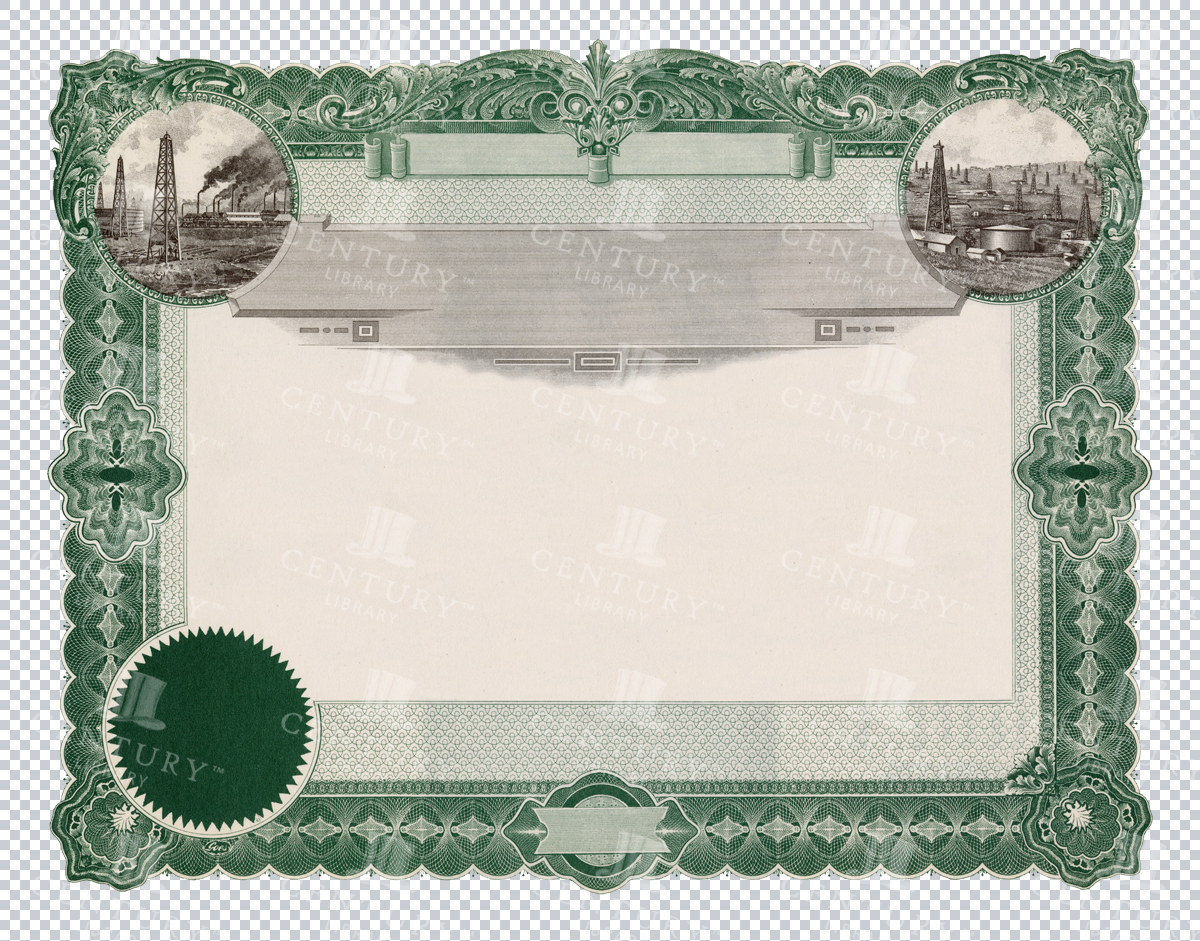

Vintage Certificate Frame with Industrial Scenes
This vintage certificate frame features industrial scenes within decorative borders, creating a classic and nostalgic atmosphere for certificates or historical documents.
- Image Type(s): PNG
- Antique
- Art
- Award
- Border
- certificate
- classic
- container
- decor
- Decorative
- Design
- document
- editable
- elegant
- Embellishment
- Engraving
- Envelope
- Floral
- Frame
- Graphic
- Green
- guilloche
- historical
- illustration
- Industrial
- Intricate
- Layout
- nostalgic
- Ornament
- Ornate
- Pattern
- PNG
- printable
- retro
- scenes
- scrollwork
- Stationery
- Template
- transparent
- vintage
From this collection


Brown Ornate Certificate Border with Victorian Style
This high-resolution PNG image features a brown certificate border with intricate Victorian-style designs. It's perfect for adding a historical touch to documents, certificates, and awards.
- Image Type(s): PNG
- Antique
- Art
- Award
- Border
- Brown
- certificate
- classic
- decor
- Decoration
- Decorative
- Design
- document
- editable
- elegant
- Embellishment
- embroidery
- Engraving
- Frame
- Graphic
- high resolution
- illustration
- Intricate
- Layout
- nostalgic
- old-fashioned
- Ornament
- Ornate
- Pattern
- PNG
- printable
- retro
- scrollwork
- Stationery
- stylish
- Template
- transparent
- Victorian
- vintage
From this collection
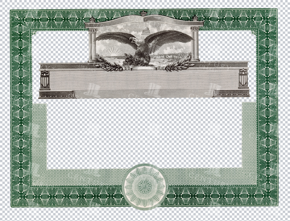

Eagle Motif Certificate Frame with Decorative Borders
A green certificate frame featuring an eagle motif at the top, surrounded by intricate decorative borders. Perfect for creating classic certificates or awards with a touch of grandeur and elegance.
- Image Type(s): PNG
From this collection
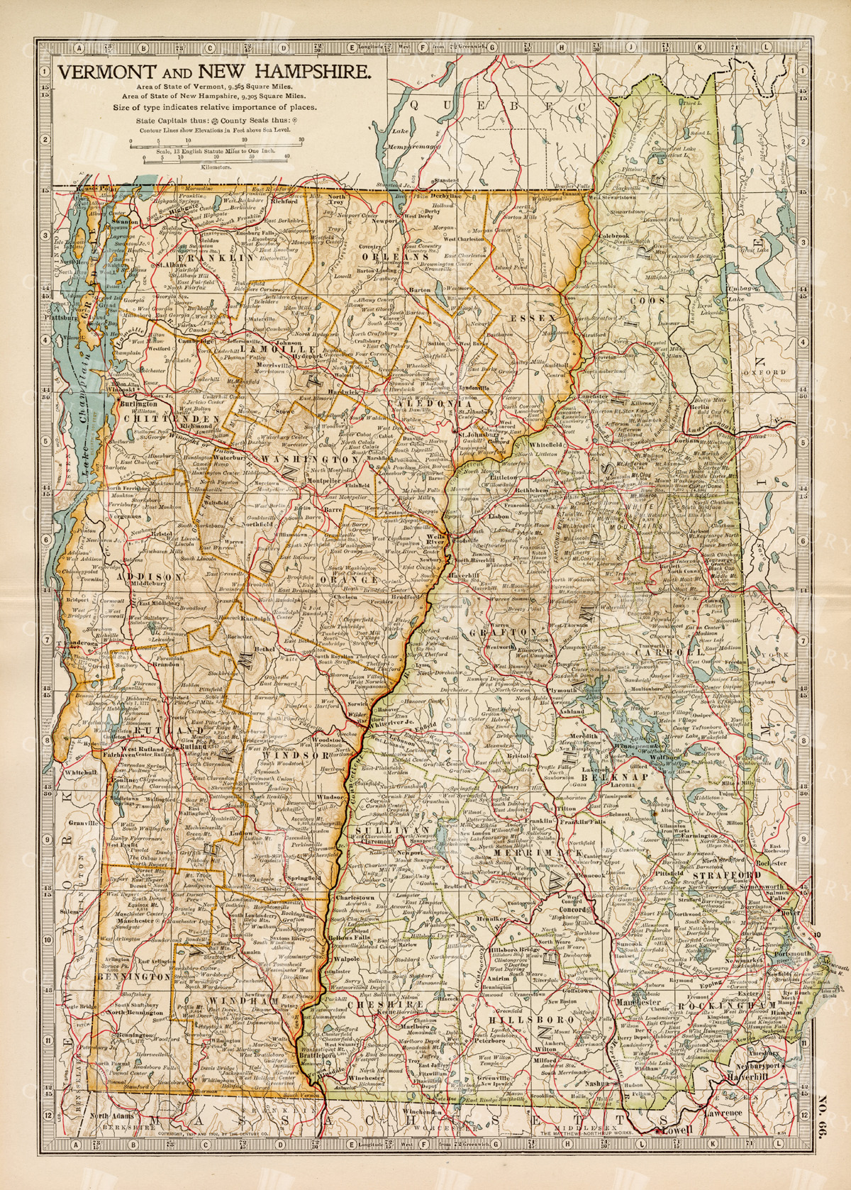

Antique Map of Vermont and New Hampshire
Detailed antique map showing the states of Vermont and New Hampshire with towns, railroads, rivers, and geographical features. Historical cartography showcasing 19th century state boundaries and infrastructures.
- Resolution: 7276 x 5100
- Image Type(s): JPG
- state lines
- nostalgic
- cartographer
- state boundaries
- infrastructures
- vermont map
- new hampshire map
- reference
- archival
- geographical features
- USA
- railroads
- detailed map
- historical map
- exploration
- old map
- cartography
- vintage map
- American history
- transportation
- states
- towns
- historic
- education
- 19th-century
- collectible
- historical
- heritage
- classic
- vintage
- representation
- Atlantic Ocean
- Antique
- History
- New England
- Vermont
- New Hampshire
- Geography
- Atlas
- Rivers
- Map
- Borders
From this collection
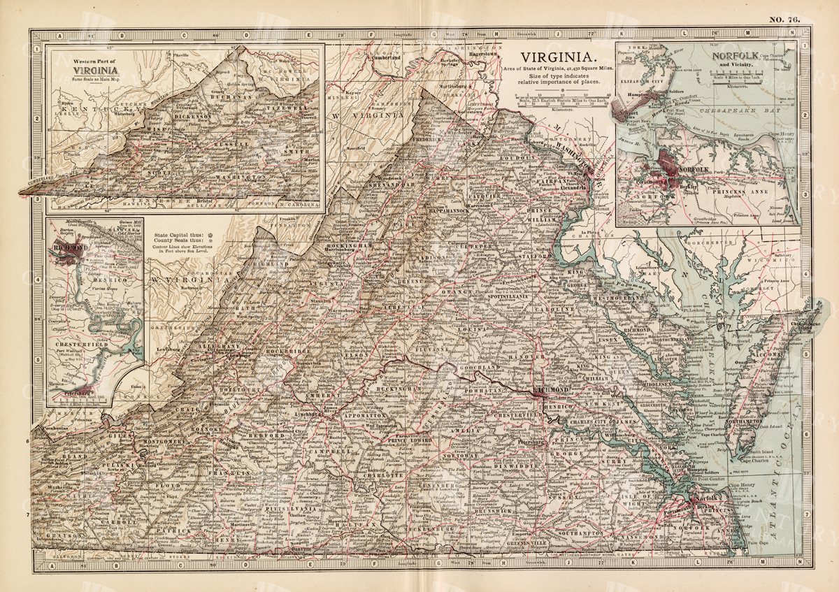

Antique Map of Virginia
Historical antique map of Virginia, showing counties, towns, railroads, rivers, and geographical details. Includes insets of the western part of Virginia and the Norfolk vicinity. 19th century cartography.
- Resolution: 7277 x 5100
- Image Type(s): JPG
- nostalgic
- cartographer
- state boundaries
- geographical details
- virginia map
- western virginia
- norfolk
- virginia counties
- historical regions
- reference
- archival
- USA
- railroads
- detailed map
- historical map
- exploration
- old map
- cartography
- American history
- transportation
- counties
- towns
- historic
- education
- 19th-century
- collectible
- historical
- heritage
- classic
- vintage
- old
- representation
- Atlantic Ocean
- Antique
- History
- Virginia
- Geography
- Atlas
- Rivers
- Map
From this collection


Antique Map of West Virginia
Detailed antique map of West Virginia, showing counties, towns, railroads, and geographical features. Historical 19th century cartography with insets of surrounding areas. An educational and collectible piece.
- Resolution: 7280 x 5100
- Image Type(s): JPG
- nostalgic
- cartographer
- state boundaries
- historical regions
- west virginia map
- west virginia counties
- surrounding areas
- heritage map
- vintage west virginia
- state map
- reference
- archival
- geographical features
- USA
- railroads
- detailed map
- topography
- historical map
- exploration
- old map
- cartography
- American history
- transportation
- counties
- towns
- education
- 19th-century
- collectible
- historical
- heritage
- classic
- vintage
- old
- representation
- Antique
- History
- West Virginia
- Geography
- Atlas
- World
- Globe
- Map
From this collection
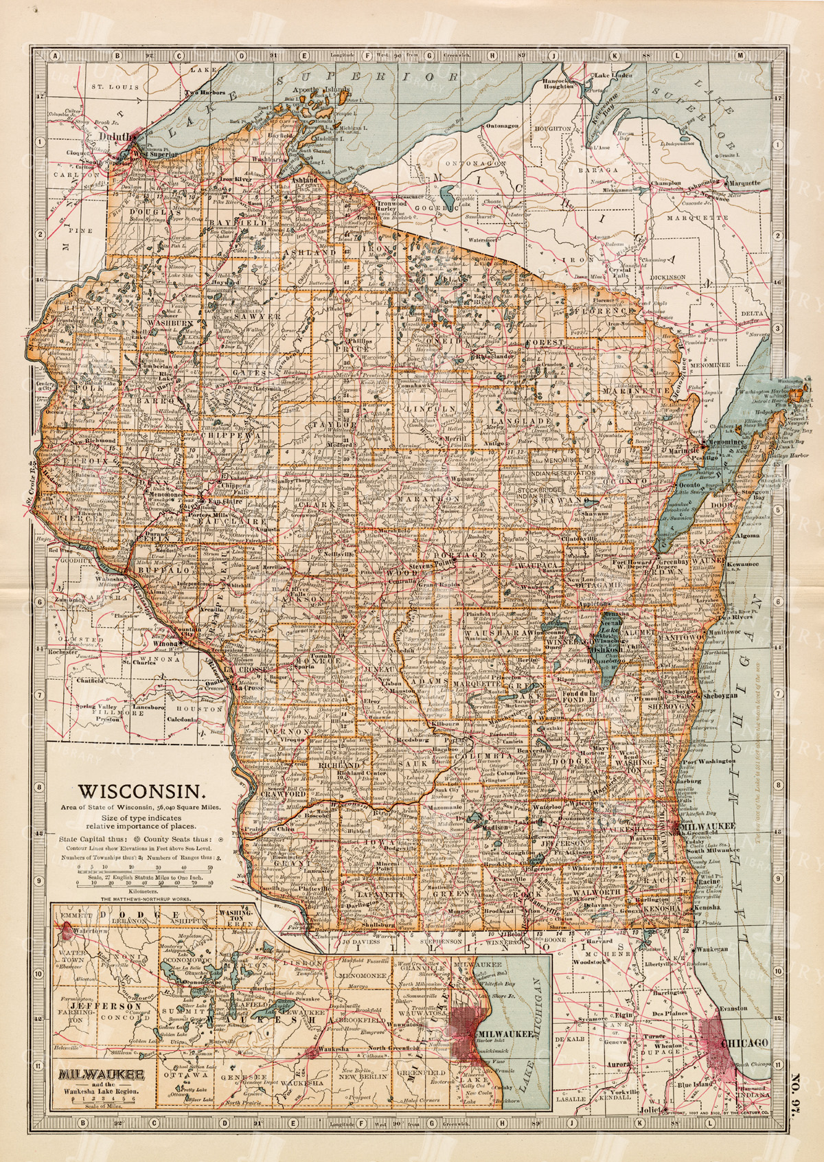

Antique Map of Wisconsin
Historical antique map of Wisconsin, showing counties, towns, railroads, rivers, and other geographical features. A 19th century map that illustrates the development and infrastructure of the state.
- Resolution: 7281 x 5100
- Image Type(s): JPG
- nostalgic
- cartographer
- state boundaries
- historical regions
- heritage map
- wisconsin map
- wisconsin counties
- vintage wisconsin
- historical development
- state map
- reference
- geographical features
- USA
- infrastructure
- railroads
- detailed map
- topography
- historical map
- exploration
- old map
- cartography
- American history
- transportation
- counties
- towns
- education
- 19th-century
- collectible
- historical
- heritage
- classic
- vintage
- representation
- Antique
- History
- Wisconsin
- Geography
- Atlas
- World
- Rivers
- Map
From this collection
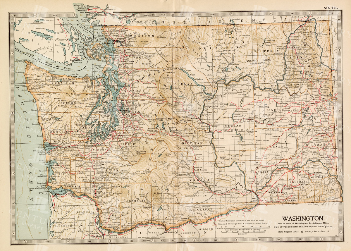

Antique Map of Washington State
Antique map of Washington State, featuring towns, counties, railroads, and geographical features such as rivers and mountains. 19th century cartography highlighting the development and infrastructure of the state.
- Resolution: 7278 x 5100
- Image Type(s): JPG
- nostalgic
- cartographer
- state boundaries
- washington state
- state development
- historical washington
- pacific northwest
- washington map
- northwest history
- washington geography
- reference
- archival
- geographical features
- USA
- infrastructure
- railroads
- detailed map
- historical map
- exploration
- old map
- cartography
- American history
- transportation
- counties
- towns
- education
- 19th-century
- collectible
- historical
- heritage
- classic
- vintage
- representation
- Antique
- History
- Washington
- Geography
- Atlas
- World
- Rivers
- Mountains
- Map
From this collection
Support the Library
Our supporters and members help us continue collecting and restoring these wonderful pieces of art for the modern creator
Unlock Everything and Become a Member!
While a lot of the library is available for free, some is kept behind closed dusty doors only to be accessed by our lovely members.