
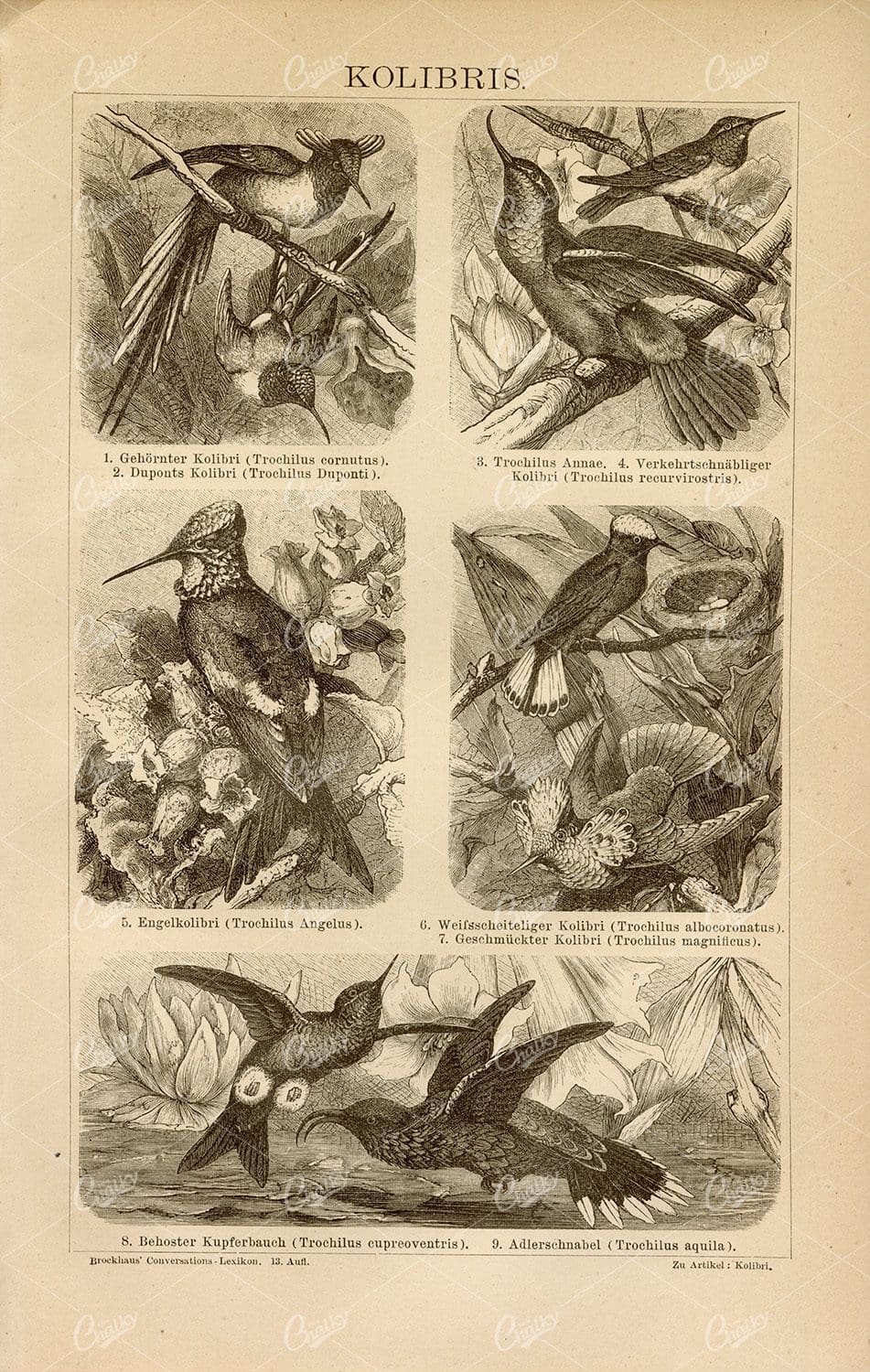
HUMMINGBIRDS – Old German Encyclopedia Vintage Print 1882
- License Info
- Resolution: 5591px x 8814px
- Year of Print: 1882
Related Images

ANTIQUE Ancient Mythology Print – Diana Succincta With Bow
- License Info
- Resolution: 4760px x 7938px
- Year of Print: 1809
Related Images

ANTIQUE Engraving of Various Insect Parts – Original 1791 Rare Print
You're looking at a scarce, 229 year old, steel plate engraving from the original "The New Encyclopaedia Or Modern Universal Dictionary Of Arts And Sciences On A New And Improved Plan" by Hall, William Henry, Bedford Row, London, published by C Cooke, London.
- License Info
- Resolution: 8300 x 13800 300dpi
- Year of Print: 1791
- Artist: C. Cooke
Related Images

BRIDES DRESS – Solomon’s Song – Vintage Biblical Print 1836
- License Info
- Resolution: 7532px x 9992px
- Year of Print: 1836
- Artist: Charles Taylor
Related Images

VINTAGE Architecture Styles Print VIIL – Gothic Style
- License Info
- Resolution: 5533px x 8818px
- Year of Print: 1882
Related Images

ANTIQUE Blueprint – Construction of Ships – Stern, Head – 1791 Engraving
You're looking at a scarce, 229 year old, steel plate engraving from the original "The New Encyclopaedia Or Modern Universal Dictionary Of Arts And Sciences On A New And Improved Plan" by Hall, William Henry, Bedford Row, London, published by C Cooke, London.
- License Info
- Resolution: 8300 x 13800 300dpi
- Year of Print: 1791
- Artist: C. Cooke
Related Images

VINTAGE Map of Donegal in Ireland – Antique 1843 Illustration
- Resolution: 8501px x 5503px
- Year of Print: 1843
- Artist: MR & MRS. S. C. HALL
Related Images

1843 Vintage Map of the Lakes of Killarney – Antique Illustration
- Resolution: 5680px x 8502px
- Year of Print: 1843
- Artist: MR & MRS. S. C. HALL
Related Images

ARMOUR – Vintage print from Calmet’s Dictionary of the Holy Bible
- License Info
- Resolution: 7030px x 9246px
- Year of Print: 1836
- Artist: Charles Taylor
Related Images
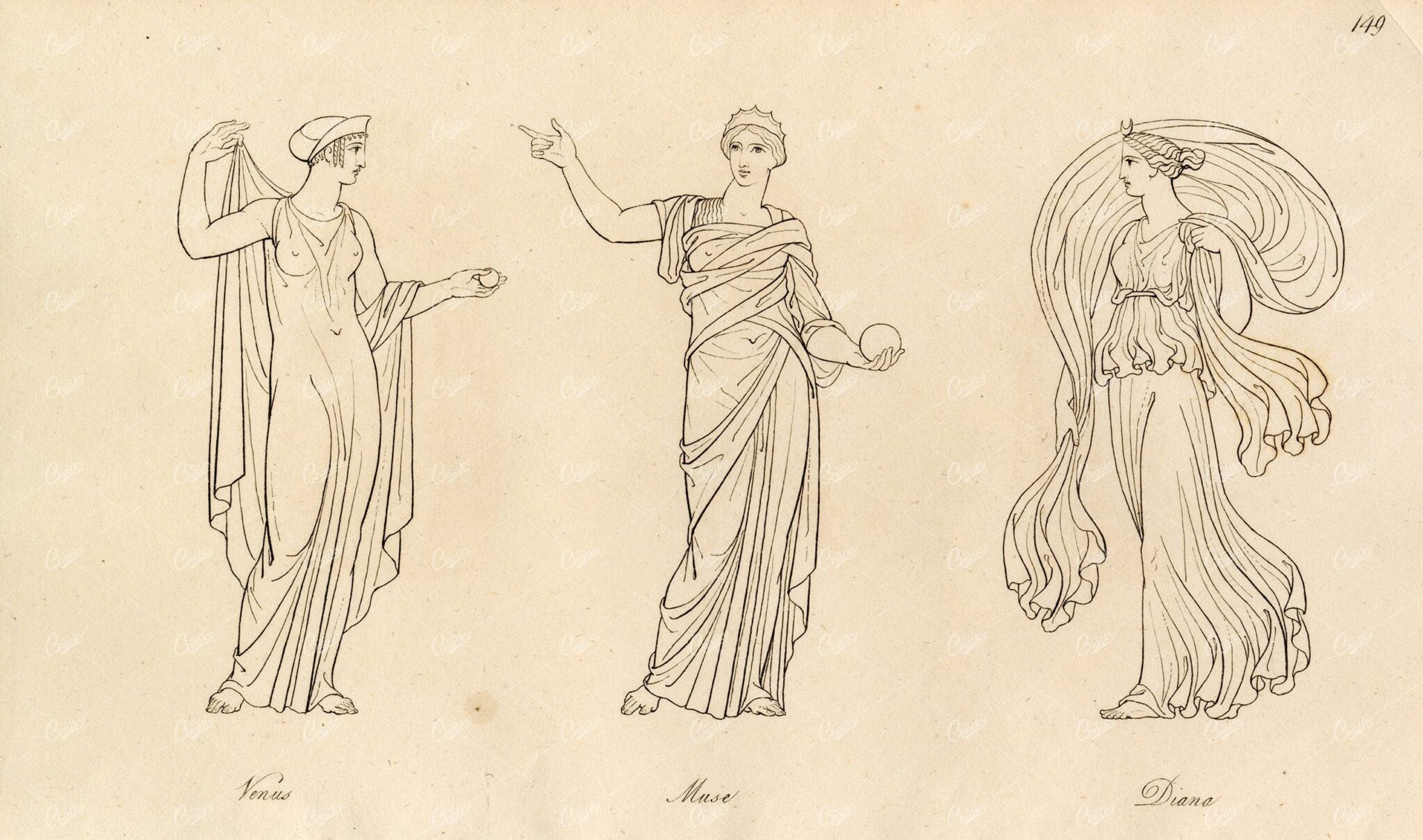
ANTIQUE Ancient Mythology Print – Venus, Muse and Diana
- License Info
- Resolution: 7923px x 4679px
- Year of Print: 1809
Related Images

CORK – 1843 Vintage Map of Cork in Ireland
- Resolution: 5645px x 8502px
- Year of Print: 1843
- Artist: MR & MRS. S. C. HALL
Related Images

VINTAGE Print – A Map of Canaan Showing the Captivities of Israel and Judah
- License Info
- Resolution: 7082px x 9302px
- Year of Print: 1836
- Artist: Charles Taylor
Related Images

VINTAGE 1866 Print Showing examples of Crowning and Scalloping
- License Info
- Resolution: 10977px x 15479px
- Year of Print: 1866
- Artist: Michel Lienard
From this collection

ANTIQUE 19th Century Decorative Art Print – Jewelry Furniture
- License Info
- Resolution: 10977px x 15480px
- Year of Print: 1866
- Artist: Michel Lienard
From this collection

MYTHOLOGICAL Greece Mars Mercury Pallas Morpheus Term Engraving 1804
- License Info
- Resolution: 8203 x 10811 300dpi
- Year of Print: 1804
Related Images

MATHEMATICAL Drawing – Principles of Perspective – Antique 1791 Print
You're looking at a scarce, 229 year old, steel plate engraving from the original "The New Encyclopaedia Or Modern Universal Dictionary Of Arts And Sciences On A New And Improved Plan" by Hall, William Henry, Bedford Row, London, published by C Cooke, London.
- License Info
- Resolution: 8300 x 13800 300dpi
- Year of Print: 1791
- Artist: C. Cooke
Related Images

FARRIERY – Anatomy of HORSE – Original ANTIQUE 1791 Engraving
You're looking at a scarce, 229 year old, steel plate engraving from the original "The New Encyclopaedia Or Modern Universal Dictionary Of Arts And Sciences On A New And Improved Plan" by Hall, William Henry, Bedford Row, London, published by C Cooke, London.
- License Info
- Resolution: 8300 x 13800 300dpi
- Year of Print: 1791
- Artist: C. Cooke
Related Images

Vintage 1800s Map of Arizona and New Mexico Showing Territorial Boundaries and Natural Features – Antique Map
This vintage map from the 1800s depicts Arizona and New Mexico, highlighting territorial boundaries and natural features. The antique map offers a historical view of the region's geography during a formative period in its history, with intricate details of the landscape and settlements. Ideal for history buffs and map collectors.
- Resolution: 7107 x 5100
- Image Type(s): JPG
- 1800s
- American history
- American West
- Antique
- antique map
- Arizona
- Arizona map
- cartography
- colonial era
- detailed
- exploration
- Geography
- historical
- historical map
- journal
- Map
- natural features
- New Mexico
- New Mexico map
- old map
- political map
- preserved
- regional history
- representation
- retro
- territorial boundaries
- topography
- vintage
- vintage map
From this collection

RARE Antique Decorative Art Design – Rare 19th Century Print
- License Info
- Resolution: 15480px x 10977px
- Year of Print: 1866
- Artist: Michel Lienard
From this collection

ANTIQUE Decorative Architecture Print – Door Crown and Balcony
- License Info
- Resolution: 10977px x 15480px
- Year of Print: 1866
- Artist: Michel Lienard
From this collection
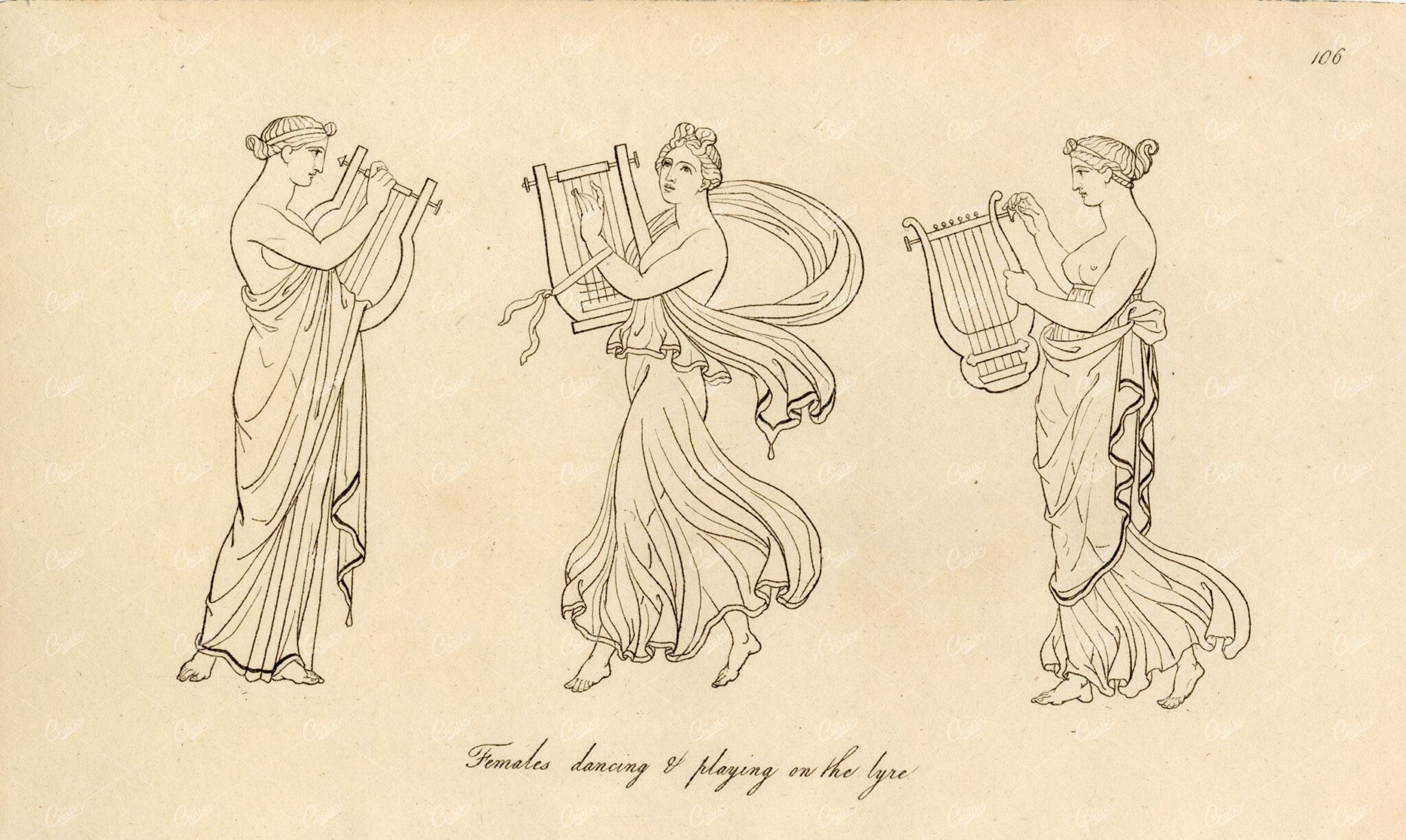
ANTIQUE Ancient Costume Print – Females Dancing and Playing the Lyre
- License Info
- Resolution: 7945px x 4748px
- Year of Print: 1809
Related Images

VINTAGE Biblical Map – Canaan Adapted to the Book of Judges
- License Info
- Resolution: 7010px x 9192px
- Year of Print: 1836
- Artist: Charles Taylor
Related Images

19th Century Decorative Arts Print – Rare Vintage Print – 1866
- License Info
- Resolution: 10977px x 15480px
- Year of Print: 1866
- Artist: Michel Lienard
From this collection

ANTIQUE Map of the Isotherms and Isobars of America – Vintage Print
- License Info
- Resolution: 5982px x 8832px
- Year of Print: 1877
Related Images
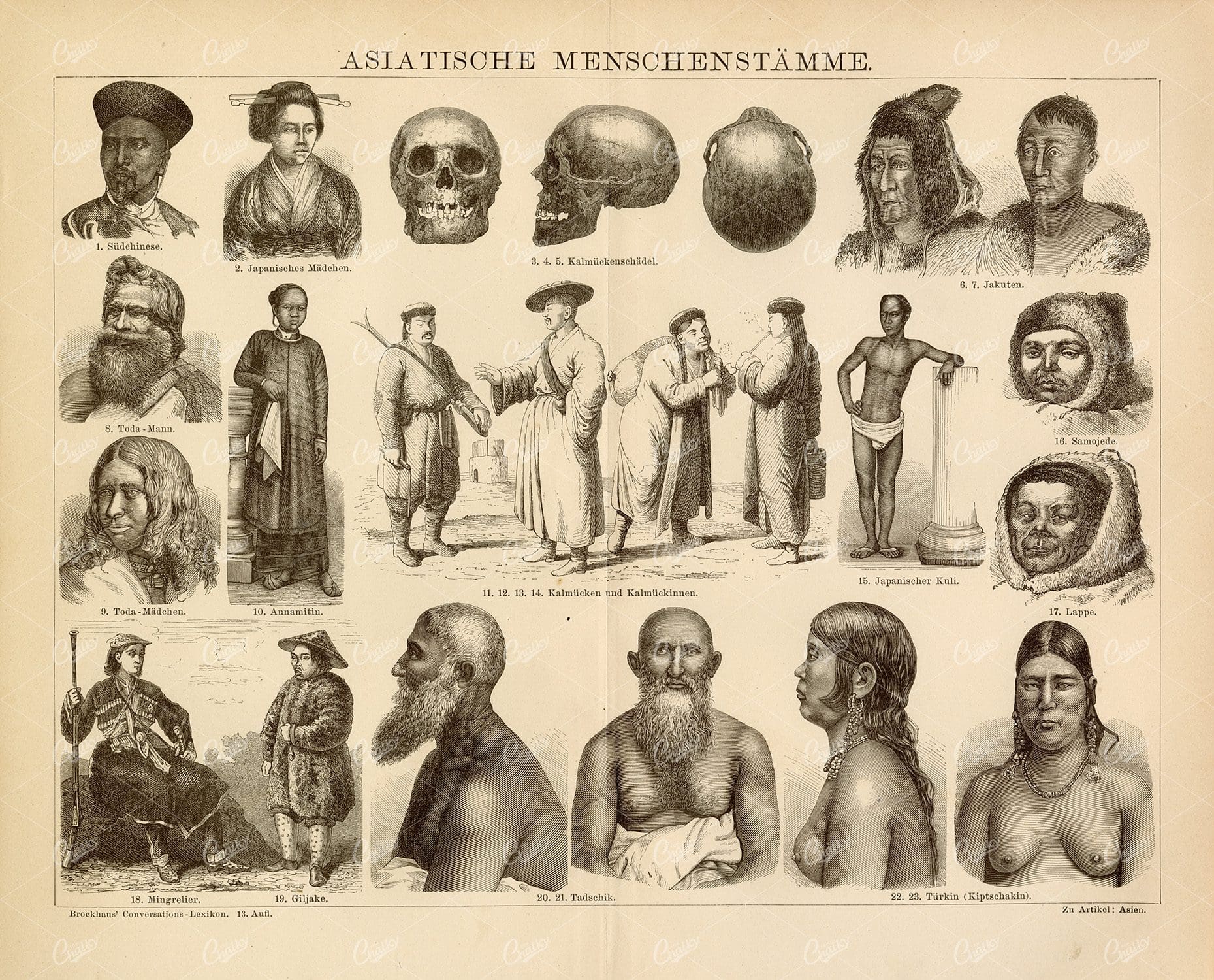
1882 VINTAGE Encyclopedia Print – Asian People
- License Info
- Resolution: 10737px x 8663px
- Year of Print: 1882
Related Images
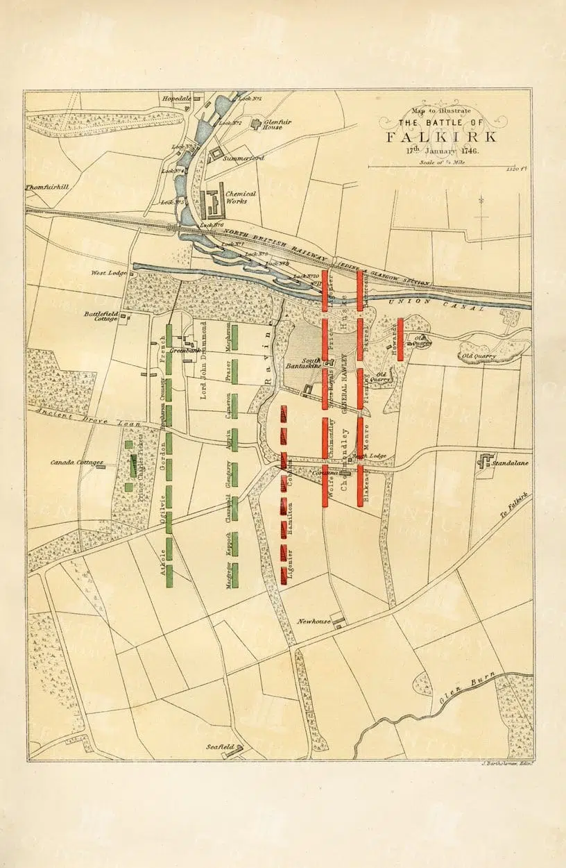
VINTAGE Map Illustrating the battle of Falkirk in 1746
- Resolution: 8855px x 5784px
- Year of Print: 1885
- Artist: William Melven
Related Images
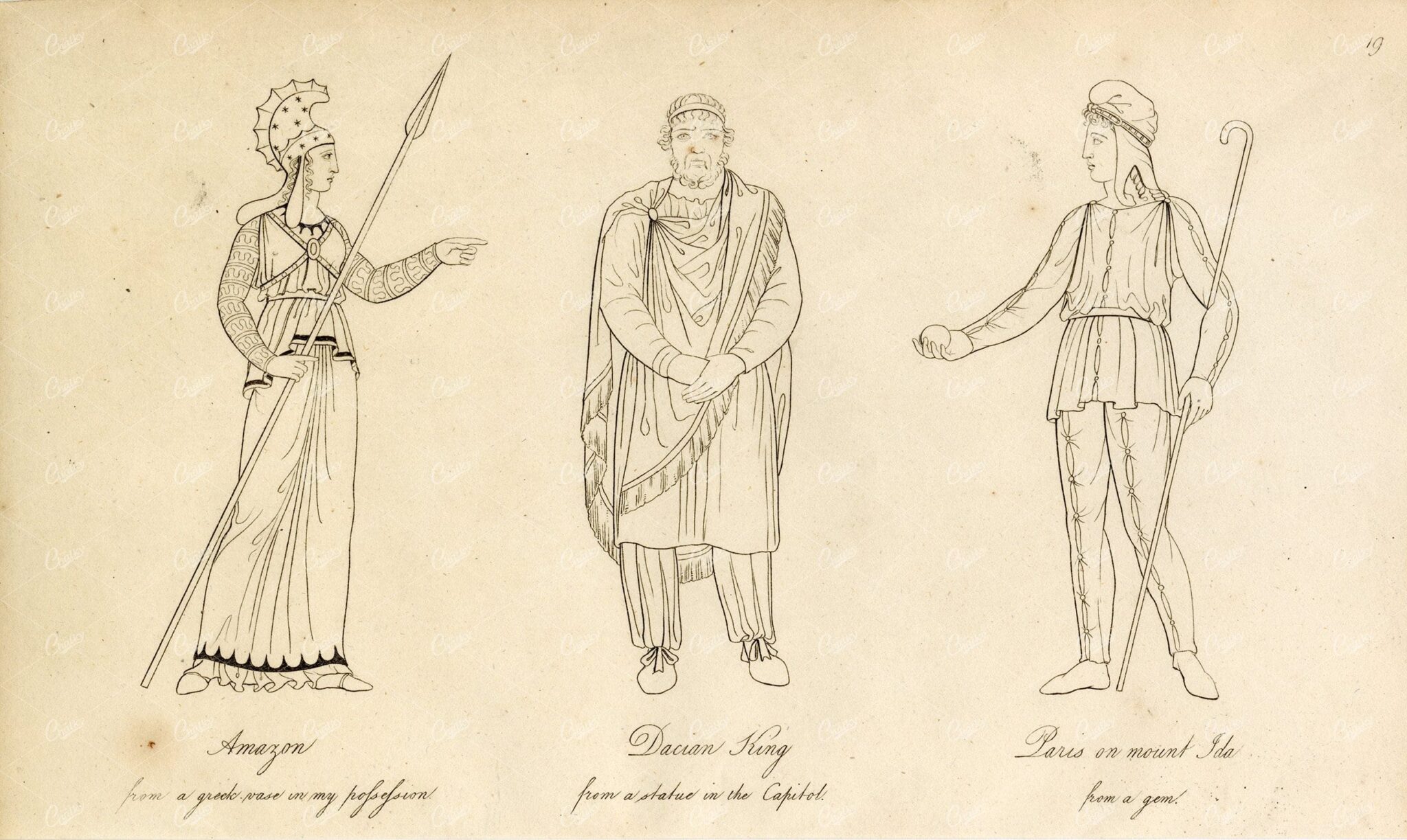
ANTIQUE Ancient Costume Print – Amazon, Dacian King, and Paris
- License Info
- Resolution: 8056px x 4810px
- Year of Print: 1809
Related Images
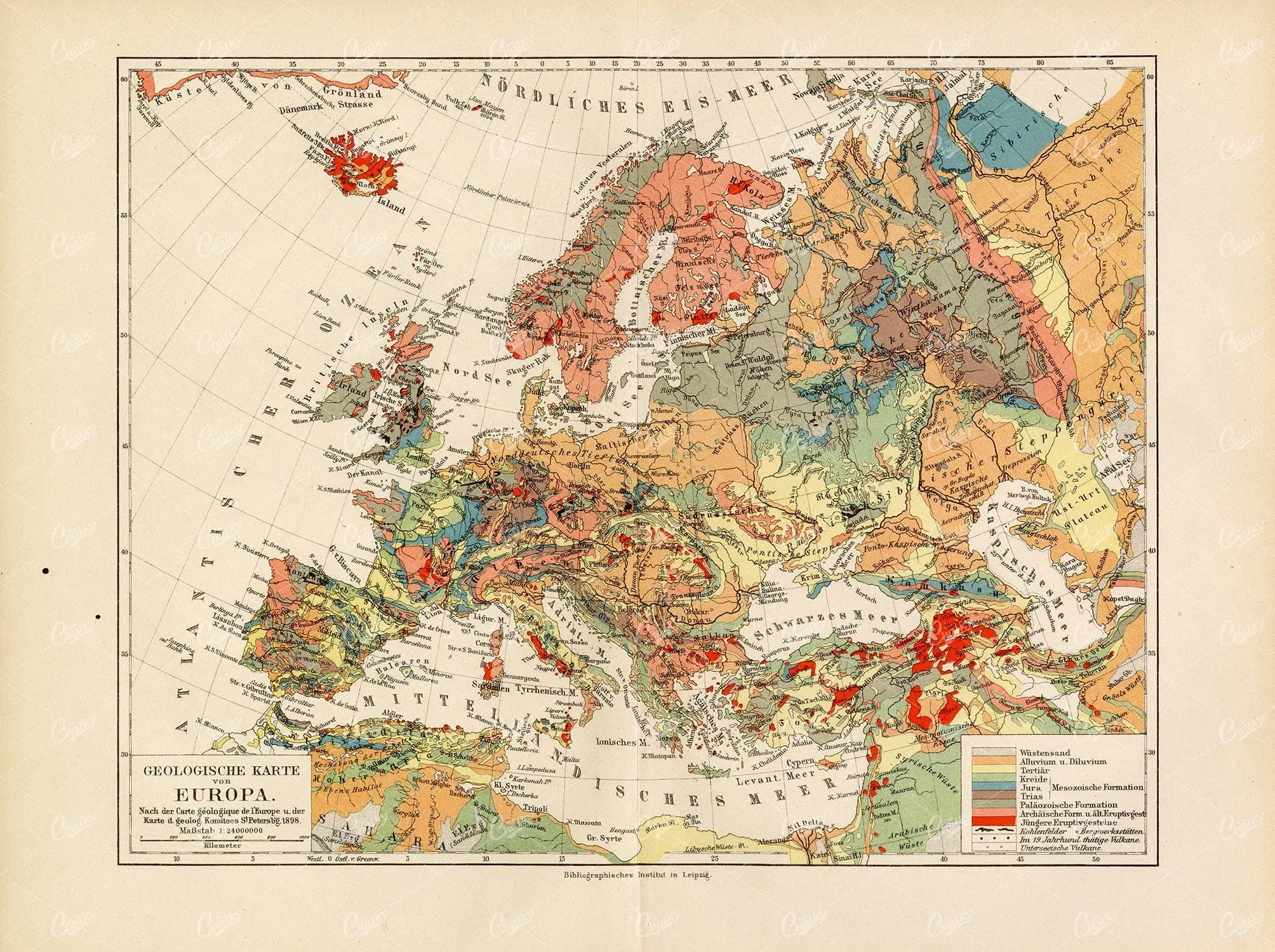
ANTIQUE Geological Map of Europe – Vintage 1800’s Print
- License Info
- Resolution: 11672px x 8718px
- Year of Print: 1800's
Related Images


ANTIQUE Agriculture Print – Rees’ Encyclopedia 1800s
- License Info
- Resolution: 7377px x 9471px
- Year of Print: 1800s
- Artist: Abraham Rees
Related Images

DRAWING for Artists Human Hand 1835 Fine Quality Antique Print
- License Info
- Resolution: 7420 x 9761 300dpi
- Year of Print: 1835
Related Images

OLD Navy Ship Blueprints – Gun & Upper Decks – 1822 Encyclopedia Print
- License Info
- Resolution: 9360 x 7252 300dpi
- Year of Print: 1822
Related Images

Antique Map of Southern India and the Straits Settlements with Ceylon
This antique map depicts Southern India and the Straits Settlements, including the island of Ceylon (now Sri Lanka). The map highlights key cities, transportation networks, and topographical features such as rivers and mountain ranges. It provides a historical perspective on the colonial boundaries and geopolitical landscape of the region during the early 20th century, reflecting the connection between Southern India and Southeast Asia.
- Resolution: 7145 x 5100
- Image Type(s): JPG
- Antique
- antique map
- Atlas
- British Empire
- cartography
- Ceylon
- cities
- colonial boundaries
- country
- early 20th century
- exploration
- Geography
- Globe
- historical geography
- historical map
- History
- Indian Ocean
- Landscape
- Map
- mountain ranges
- old map
- representation
- Rivers
- South Asia
- Southeast Asia
- Southern India
- Sri Lanka
- Straits Settlements
- transportation
- Travel
- World
From this collection
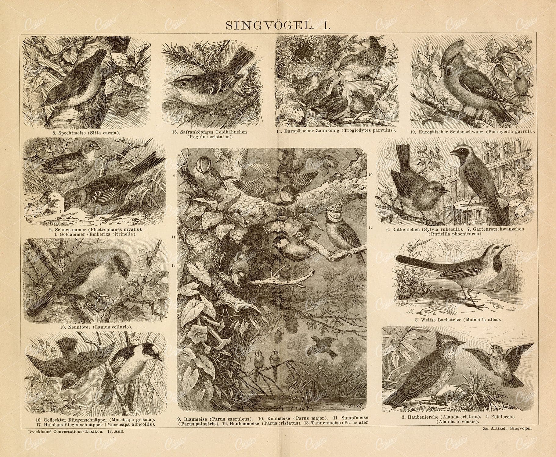
SONGBIRDS Vintage 1882 Print – Goldammer, Crested Lark, Robin
- License Info
- Resolution: 10467px x 8616px
- Year of Print: 1882
Related Images
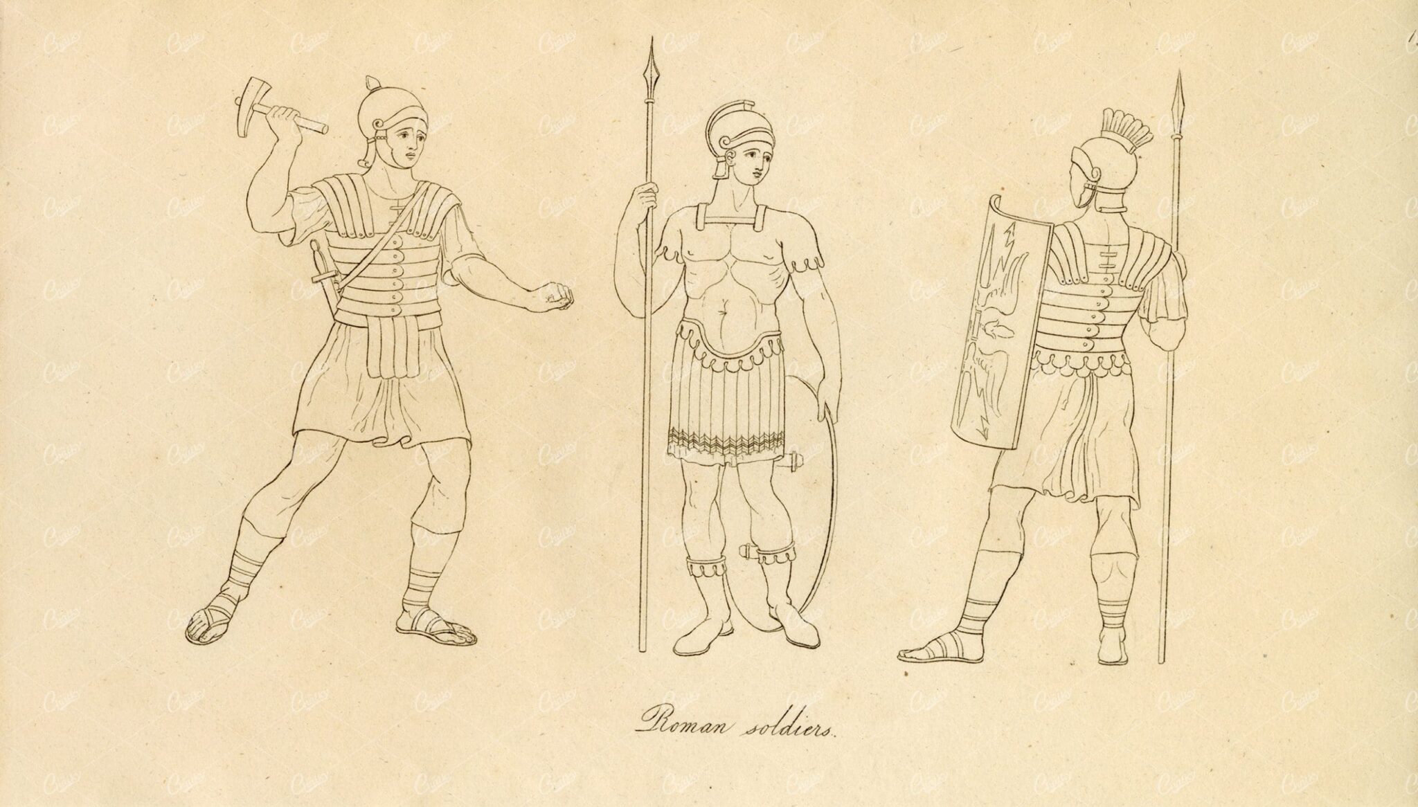
ANCIENT Costume – Roman Soldiers with Armor and Weapons Print
- License Info
- Resolution: 8045px x 4582px
- Year of Print: 1809
Related Images
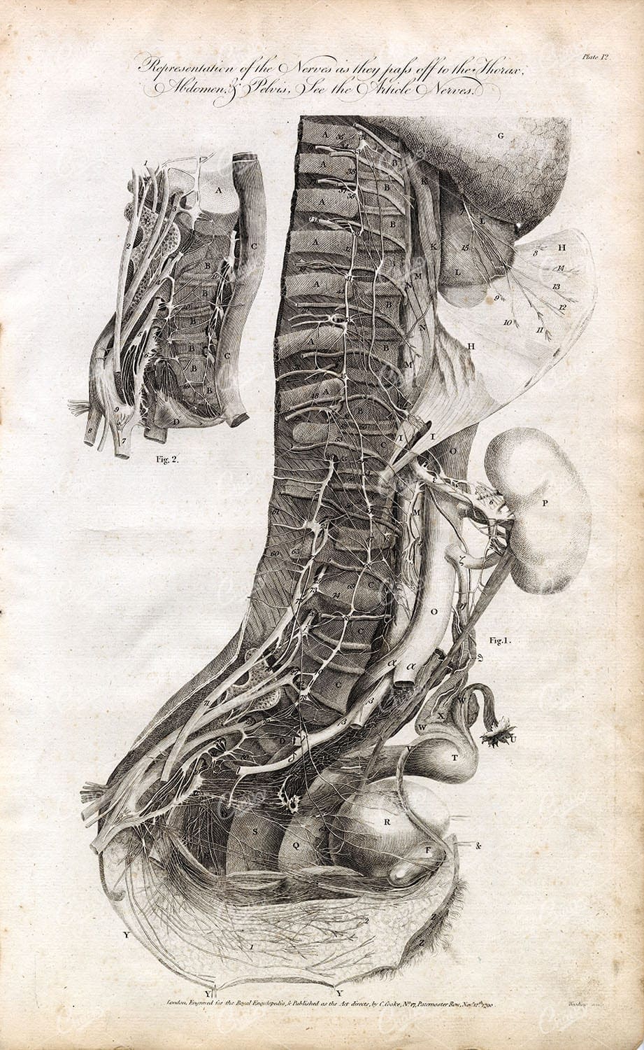
ANATOMY – Thorax, Pelvis, and Abdomen Nervous System – Antique 1791 Print
You're looking at a scarce, 229 year old, steel plate engraving from the original "The New Encyclopaedia Or Modern Universal Dictionary Of Arts And Sciences On A New And Improved Plan" by Hall, William Henry, Bedford Row, London, published by C Cooke, London.
- License Info
- Resolution: 8300 x 13800 300dpi
- Year of Print: 1791
- Artist: C. Cooke
Related Images

ANTIQUE Elements of OPTICS – 1791 Antique Steel Plate Engraving Print
You're looking at a scarce, 229 year old, steel plate engraving from the original "The New Encyclopaedia Or Modern Universal Dictionary Of Arts And Sciences On A New And Improved Plan" by Hall, William Henry, Bedford Row, London, published by C Cooke, London.
- License Info
- Resolution: 8300 x 13800 300dpi
- Year of Print: 1791
- Artist: C. Cooke
Related Images
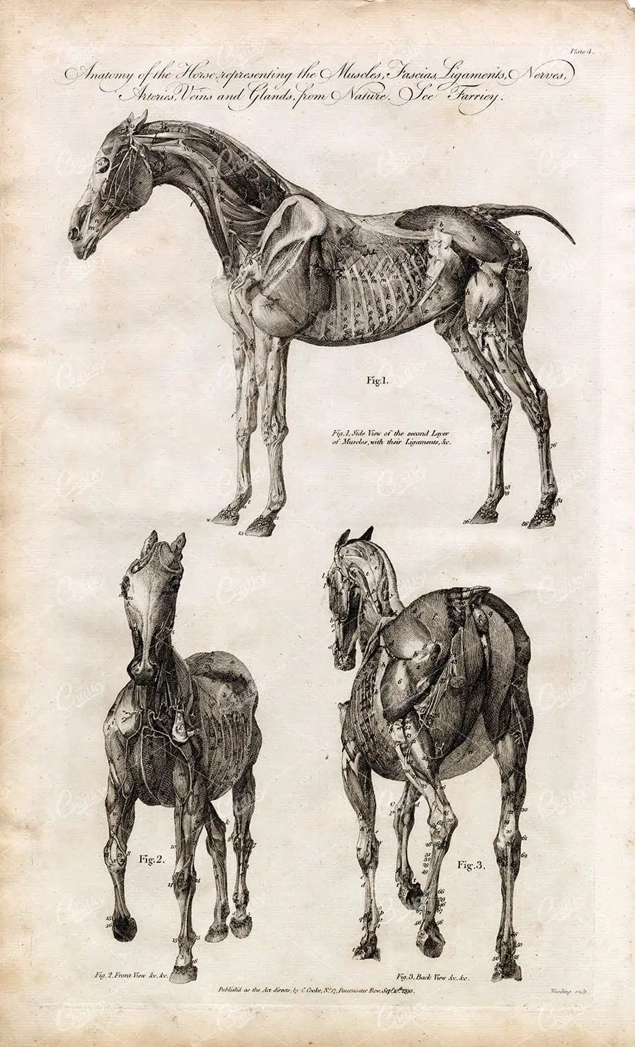
ANATOMY of Horse – Original Antique 1791 Engraving – Side, Front, Back
You're looking at a scarce, 229 year old, steel plate engraving from the original "The New Encyclopaedia Or Modern Universal Dictionary Of Arts And Sciences On A New And Improved Plan" by Hall, William Henry, Bedford Row, London, published by C Cooke, London.
- License Info
- Resolution: 8300 x 13800 300dpi
- Year of Print: 1791
- Artist: C. Cooke
Related Images

VINTAGE Sculpture Print 1882 – Buda, Sphinx, Memnon Columns
- License Info
- Resolution: 10539px x 8801px
- Year of Print: 1882
Related Images

FISHING – Antique German Encyclopedia Print 1882
- License Info
- Resolution: 5573px x 8833px
- Year of Print: 1882
Related Images

HAMPTON COURT BRIDGE – 1840 Vintage Engraved Illustration
- Resolution: 7954px x 6037px
- Year of Print: 1840
- Artist: William Tombleson
Related Images

ANTIQUE Engraved Print of the Blue Headed Bee-Eater
- License Info
- Resolution: 4508px x 7105px
- Year of Print: 1812
- Artist: George Shaw Engravings by Mrs Griffith
Related Images
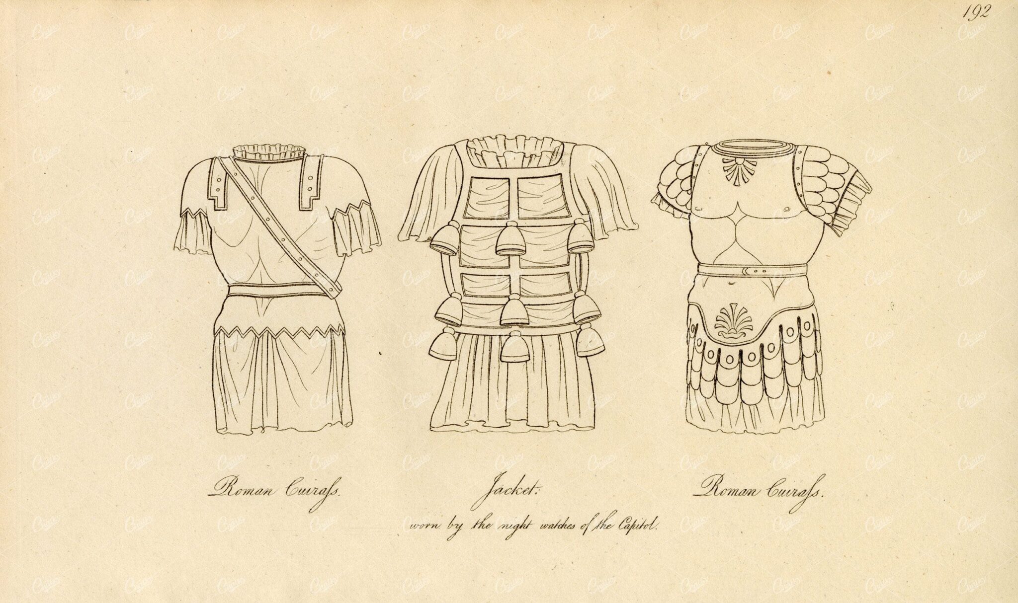
ANCIENT Costume – Roman Cuirass’ and Jacket – Antique Engraving
- License Info
- Resolution: 7958px x 4718px
- Year of Print: 1809
Related Images

Vintage Map of Connecticut and Rhode Island Including Major Cities and Coastal Features
A vintage map depicting Connecticut and Rhode Island, highlighting major cities, towns, and coastal features. The map provides detailed insights into the region's transportation routes, geographical features, and historical importance during the period.
- Resolution: 7121 x 5100
- Image Type(s): JPG
From this collection
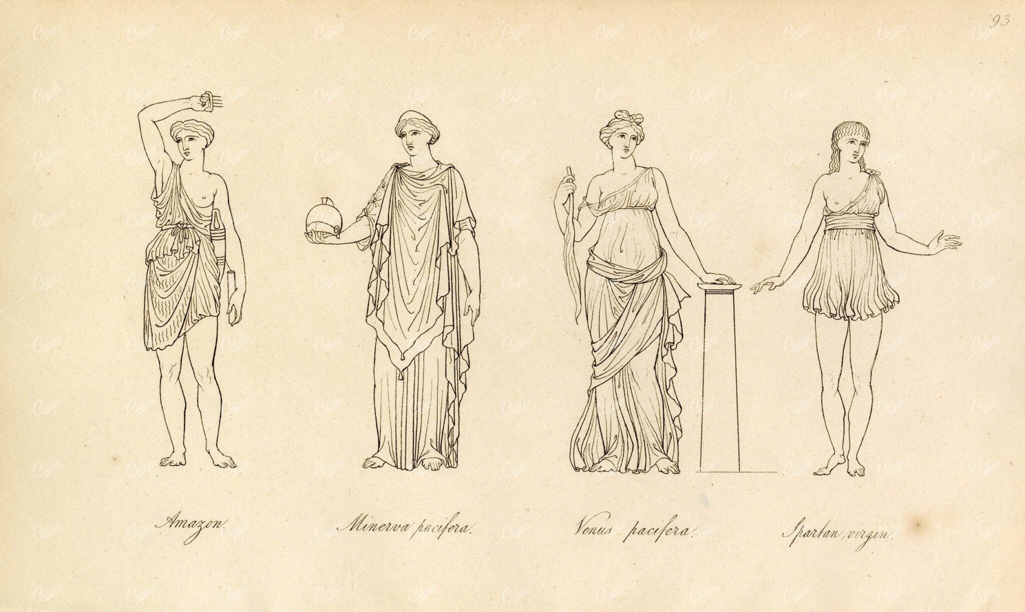
ANTIQUE Ancient Mythology Print – Amazon, Minerva, Venus, and Spartan
- License Info
- Resolution: 7912px x 4725px
- Year of Print: 1809
Related Images


VINTAGE 1885 Map Showing the Scottish Highland Clans
- Resolution: 5676px x 8497px
- Year of Print: 1885
- Artist: William Melvin
Related Images

VINTAGE Biblical Print 1836 – Arabian Dress – Plate 2
- License Info
- Resolution: 7089px x 8412px
- Year of Print: 1836
- Artist: Charles Taylor
Related Images

1791 Engraving – Origins of Musical Instruments and the Thermometer
You're looking at a scarce, 229 year old, steel plate engraving from the original "The New Encyclopaedia Or Modern Universal Dictionary Of Arts And Sciences On A New And Improved Plan" by Hall, William Henry, Bedford Row, London, published by C Cooke, London.
- License Info
- Resolution: 8300 x 13800 300dpi
- Year of Print: 1791
- Artist: C. Cooke
Related Images

Vintage Map of Indiana Highlighting Transportation Networks and County Borders
This vintage map of Indiana highlights the state's transportation networks, including roads and railroads, along with its county borders. The map provides a detailed view of Indiana's geography during the early 20th century, focusing on the development of infrastructure and urban areas. It offers a historical overview of the state's growth and the connections between its cities and rural areas.
- Resolution: 7146 x 5100
- Image Type(s): JPG
From this collection

Support the Library
Our supporters and members help us continue collecting and restoring these wonderful pieces of art for the modern creator
Unlock Everything and Become a Member!
While a lot of the library is available for free, some is kept behind closed dusty doors only to be accessed by our lovely members.