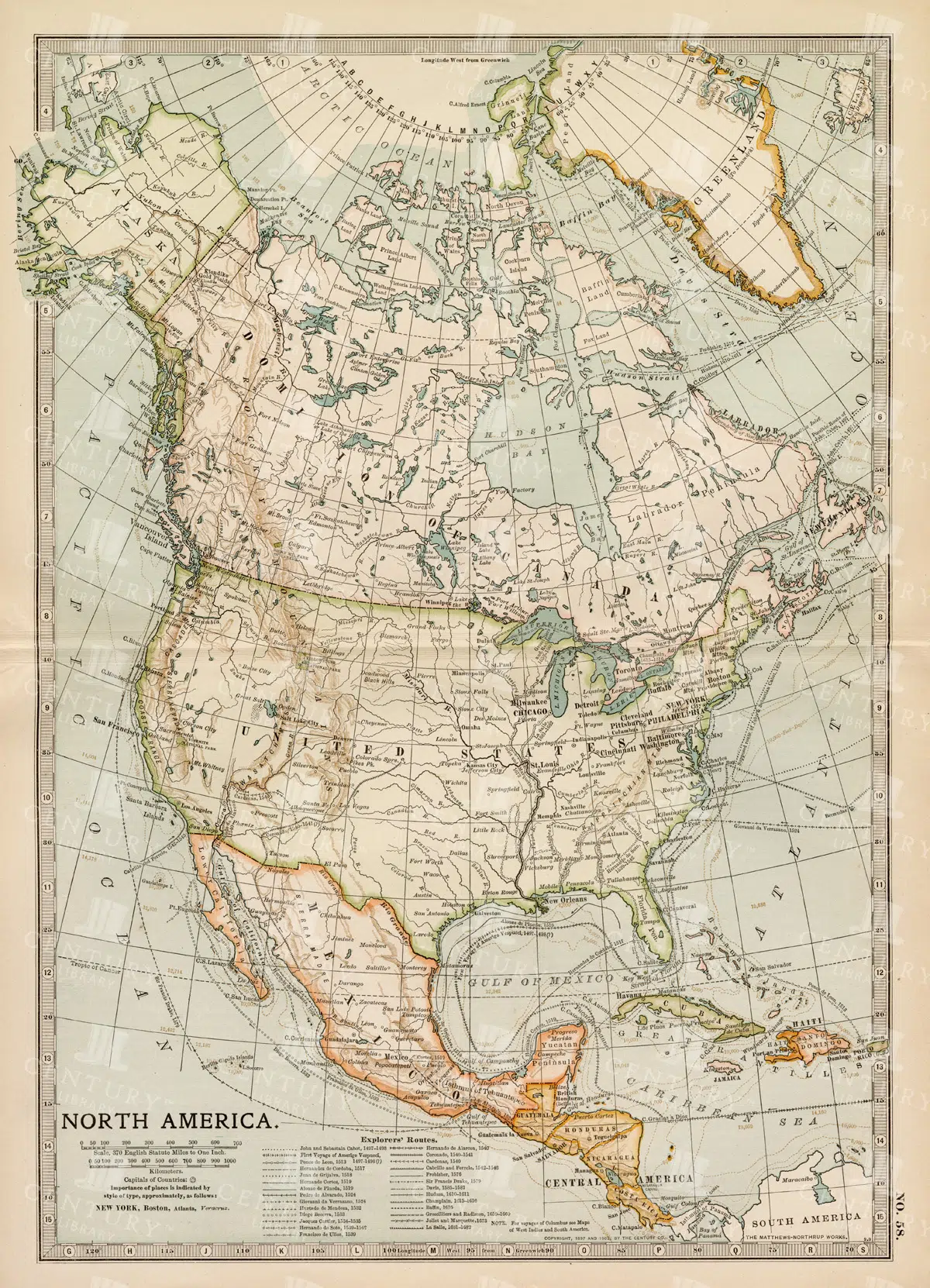
Vintage Map of North America
A historic map of North America, offering a comprehensive view of the continent's geography, including the United States, Canada, and Mexico, from the late 19th century.
- Resolution: 7242 x 5100
- Image Type(s): JPG
From this collection
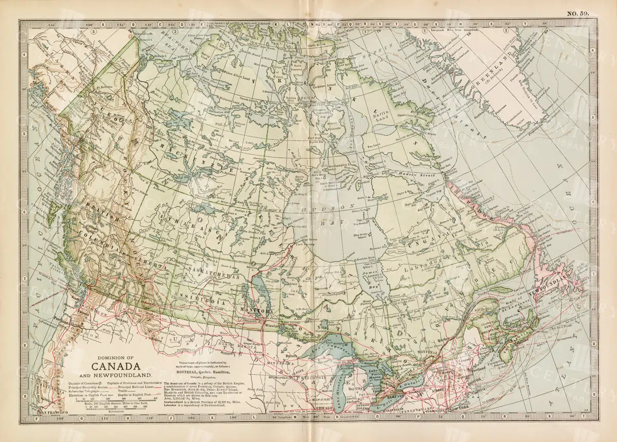
Antique Map of Canada and Newfoundland Highlighting Major Cities and Natural Features
An antique map of Canada and Newfoundland, offering a detailed look at the region's cities, natural landmarks, and geographical features. The map provides insights into the historical significance of the area during the time of its creation.
- Resolution: 7115 x 5100
- Image Type(s): JPG
From this collection

Historical Map of Manitoba, British Columbia, and the Northwest Territories
A detailed historical map depicting the regions of Manitoba, British Columbia, and the Northwest Territories, showcasing topographical features, settlements, and boundaries in the early 20th century.
- Resolution: 7160 x 5100
- Image Type(s): JPG
- 20th
- Antique
- Atlas
- Borders
- boundaries
- British
- Canada
- cartography
- century
- climate
- coastline
- colonial
- columbia
- demographics
- division
- early
- exploration
- Geography
- Globe
- historical
- History
- infrastructure
- Landscape
- manitoba
- Map
- natural
- northwest
- provincial
- regions
- representation
- resources
- River
- settlement
- settlements
- territories
- topographical
- transportation
- Travel
- vintage
- World
From this collection

Detailed 19th Century Map of Ontario with Inset of Toronto and Vicinity
A richly detailed map of Ontario from the late 19th century, featuring county divisions, cities, and a prominent inset of Toronto and its surrounding areas, highlighting important transportation routes.
- Resolution: 7250 x 5100
- Image Type(s): JPG
From this collection

Antique Map of New Brunswick, Nova Scotia, and Prince Edward Island
A historic map from the late 19th century illustrating the Canadian provinces of New Brunswick, Nova Scotia, and Prince Edward Island, featuring key cities, towns, and geographical landmarks.
- Resolution: 7238 x 5100
- Image Type(s): JPG
- 19th-century
- Antique
- Atlantic
- Atlas
- Borders
- Canada
- cartography
- cities
- classic
- coastline
- colonial
- country
- Geography
- Globe
- heritage
- History
- illustration
- Landscape
- Map
- maritime
- new brunswick
- novascotia
- Ocean
- princeed ward island
- provinces
- regions
- representation
- Rivers
- Road
- settlements
- territory
- topography
- tourism
- towns
- Travel
- vintage
- World
From this collection

Detailed 19th Century Map of Quebec, Canada with Historical Context
A richly detailed 19th century map of Quebec, Canada, showcasing various regions, cities, and geographical features. This historical map provides a glimpse into the past, reflecting the administrative and territorial divisions of the era. Insets highlight key areas, enhancing the map's informative value.
- Resolution: 7255 x 5100
- Image Type(s): JPG
- 1800s
- 19th-century
- antique cartography
- antique map
- antique paper
- archival
- Atlas
- Canada
- Canadian history
- Canadian provinces
- cartographic history
- cartography
- cities
- country
- detailed map
- educational tool
- Geography
- geography of Quebec
- heritage
- historical artifact
- historical context
- historical document
- historical geography
- historical information
- historical map
- historical records
- history lovers
- Map
- map insets
- map of Canada
- Montreal
- North America
- old map
- old Quebec
- Quebec
- Quebec history
- regions
- representation
- St. Lawrence River
- territorial divisions
- topography
- vintage
- vintage map
- World
From this collection

Vintage Illustration of a Canadian Porcupine
A vintage illustration of a Canadian porcupine, captured in line art style and isolated from the background, perfect for natural history and wildlife-themed projects.
- Image Type(s): PNG
Related Images

MAPS Dominion of Canada, William Mackenzie Encyclopaedia, 1880
An original Antique Plate scan from the National Encyclopaedia: A Dictionary of Universal Knowledge. Published by William Mackenzie in 1880. Click on the Artist's name to see the full collection from this series!
- License Info
- Resolution: 7594 x 10009 300dpi
- Year of Print: 1880
- Artist: William Mackenzie
From this collection
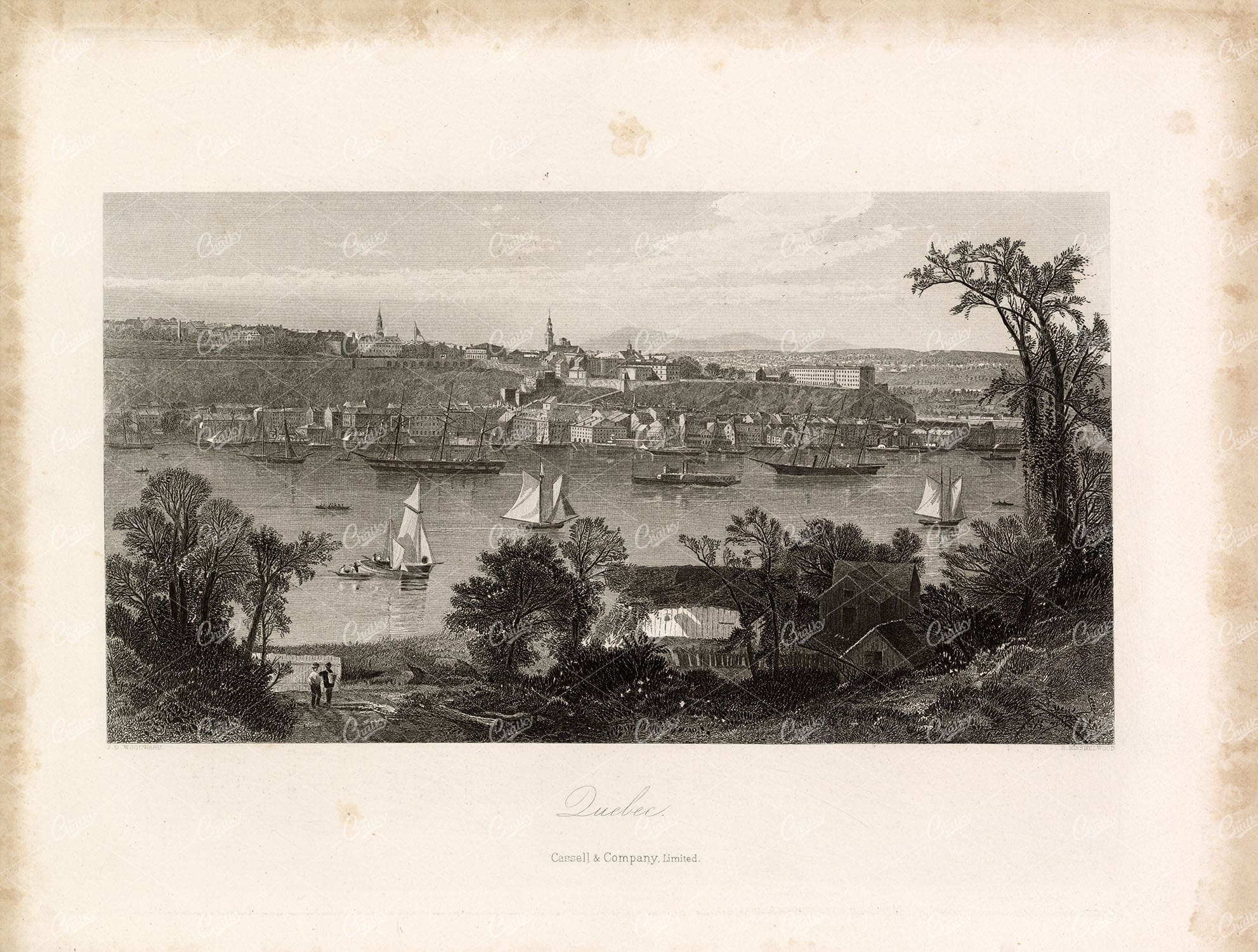
CITY OF QUEBEC, Canada – Original Antique 1874 Engraved Print
You're looking at a beautifully detailed engraved illustration from the 'Picturesque America' series. Published by D. Appleton and Company of New York in 1872 and 1874 and edited by the romantic poet and journalist William Cullen Bryant. The "Picturesque America; or, The Land We Live In. A Delineation by Pen and Pencil of the Mountains, Rivers, Lakes, Forests, Water-falls, Shores, Cañons, Valleys, Cities, and Other Picturesque Features of Our Country. With Illustrations on Steel and Wood, by Eminent American Artists" series was published and delivered as a subscription; semi-monthly parts were sent out to subscribers. Once complete, the subscription would be bound into volumes. The stately, bound two volume set was proudly displayed in parlors of subscriber homes as a show of status. Engravers included Robert Hinshelwood (1812-1885), Edward Paxman Brandard (1819-1898), Samuel Valentine Hunt (1803-1893), William Wellstood (1819-1900), William Chapin (1802-1888), Henry Bryan Hall (1808-1884).
- License Info
- Resolution: 11088 x 8388 300dpi
- Year of Print: 1874
- Artist: D. Appleton
From this collection
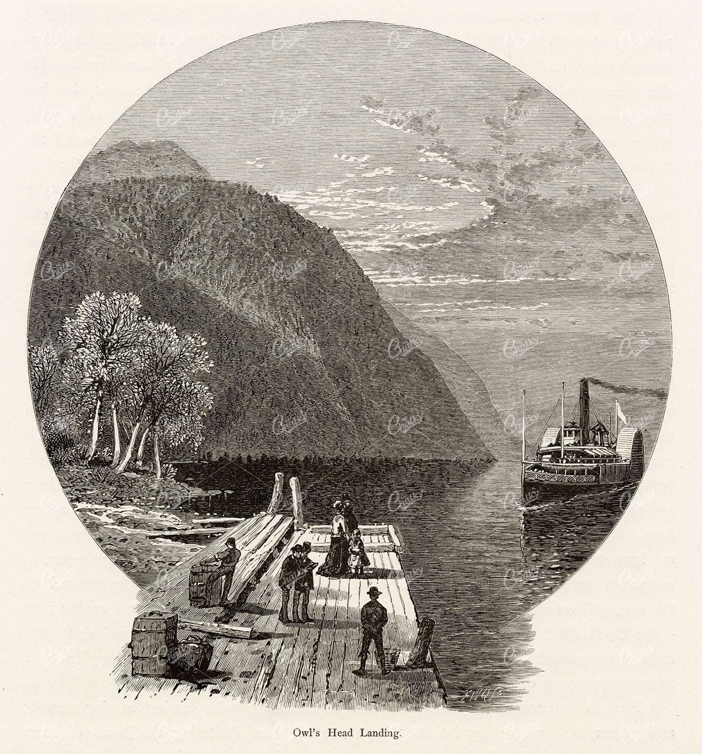
QUEBEC, Canada – Owl’s Head Landing – Steamship Arrival 1874 Engraving
You're looking at a beautifully detailed engraved illustration from the 'Picturesque America' series. Published by D. Appleton and Company of New York in 1872 and 1874 and edited by the romantic poet and journalist William Cullen Bryant. The "Picturesque America; or, The Land We Live In. A Delineation by Pen and Pencil of the Mountains, Rivers, Lakes, Forests, Water-falls, Shores, Cañons, Valleys, Cities, and Other Picturesque Features of Our Country. With Illustrations on Steel and Wood, by Eminent American Artists" series was published and delivered as a subscription; semi-monthly parts were sent out to subscribers. Once complete, the subscription would be bound into volumes. The stately, bound two volume set was proudly displayed in parlors of subscriber homes as a show of status. Engravers included Robert Hinshelwood (1812-1885), Edward Paxman Brandard (1819-1898), Samuel Valentine Hunt (1803-1893), William Wellstood (1819-1900), William Chapin (1802-1888), Henry Bryan Hall (1808-1884).
- License Info
- Resolution: 6380 x 6861 300dpi
- Year of Print: 1874
- Artist: D. Appleton
From this collection
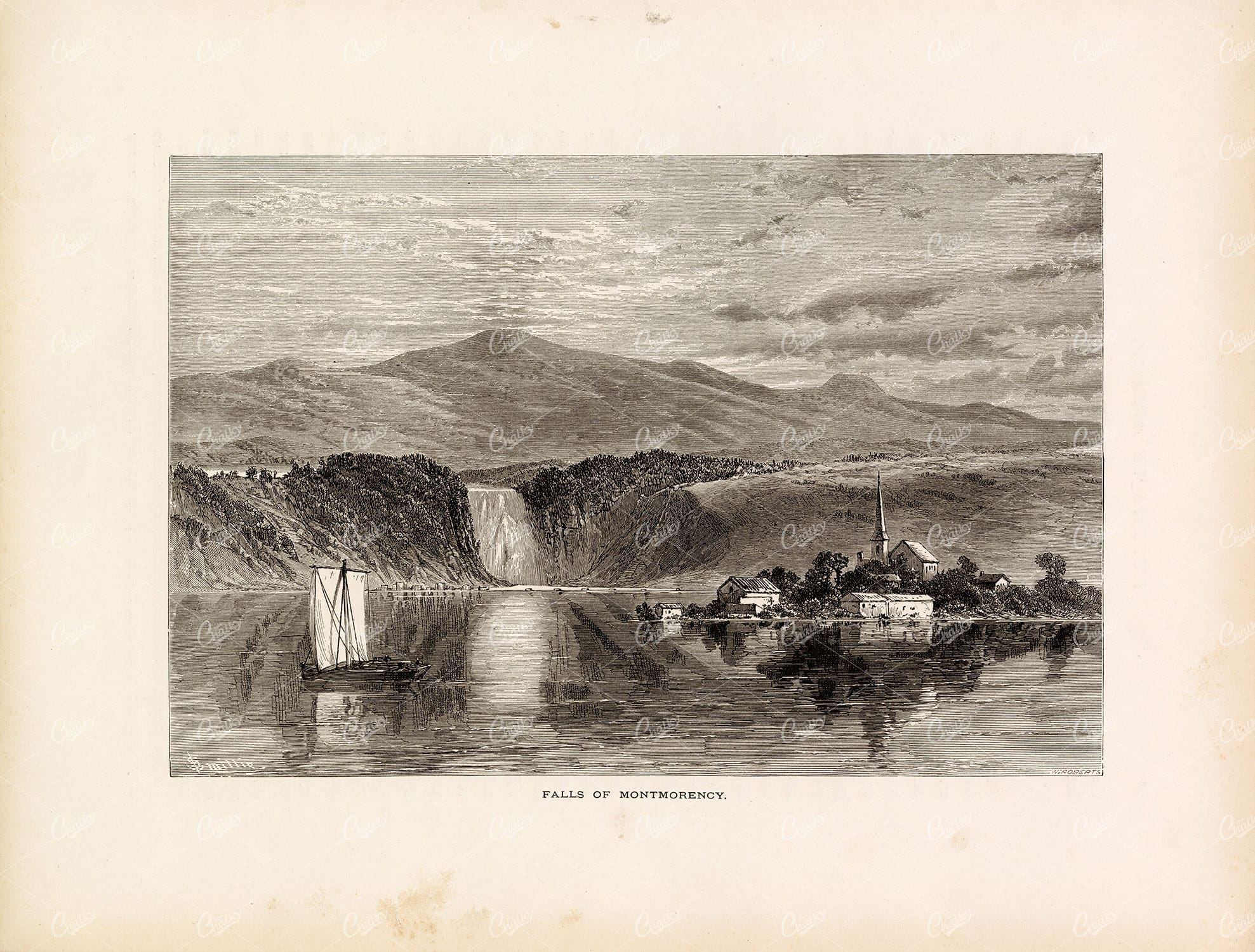
FALLS of Montmorency River in Quebec – Original Antique 1874 Print
You're looking at a beautifully detailed engraved illustration from the 'Picturesque America' series. Published by D. Appleton and Company of New York in 1872 and 1874 and edited by the romantic poet and journalist William Cullen Bryant. The "Picturesque America; or, The Land We Live In. A Delineation by Pen and Pencil of the Mountains, Rivers, Lakes, Forests, Water-falls, Shores, Cañons, Valleys, Cities, and Other Picturesque Features of Our Country. With Illustrations on Steel and Wood, by Eminent American Artists" series was published and delivered as a subscription; semi-monthly parts were sent out to subscribers. Once complete, the subscription would be bound into volumes. The stately, bound two volume set was proudly displayed in parlors of subscriber homes as a show of status. Engravers included Robert Hinshelwood (1812-1885), Edward Paxman Brandard (1819-1898), Samuel Valentine Hunt (1803-1893), William Wellstood (1819-1900), William Chapin (1802-1888), Henry Bryan Hall (1808-1884).
- License Info
- Resolution: 11100 x 8422 300dpi
- Year of Print: 1874
- Artist: D. Appleton
From this collection
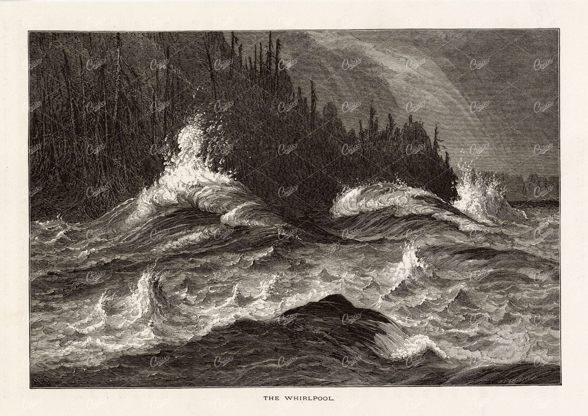
NIAGARA Falls Whirlpool – U.S & Canada Border – Victorian Engraving 1874
You're looking at a beautifully detailed engraved illustration from the 'Picturesque America' series. Published by D. Appleton and Company of New York in 1872 and 1874 and edited by the romantic poet and journalist William Cullen Bryant. The "Picturesque America; or, The Land We Live In. A Delineation by Pen and Pencil of the Mountains, Rivers, Lakes, Forests, Water-falls, Shores, Cañons, Valleys, Cities, and Other Picturesque Features of Our Country. With Illustrations on Steel and Wood, by Eminent American Artists" series was published and delivered as a subscription; semi-monthly parts were sent out to subscribers. Once complete, the subscription would be bound into volumes. The stately, bound two volume set was proudly displayed in parlors of subscriber homes as a show of status. Engravers included Robert Hinshelwood (1812-1885), Edward Paxman Brandard (1819-1898), Samuel Valentine Hunt (1803-1893), William Wellstood (1819-1900), William Chapin (1802-1888), Henry Bryan Hall (1808-1884).
- License Info
- Resolution: 9116 x 6463 300dpi
- Year of Print: 1874
- Artist: D. Appleton
From this collection
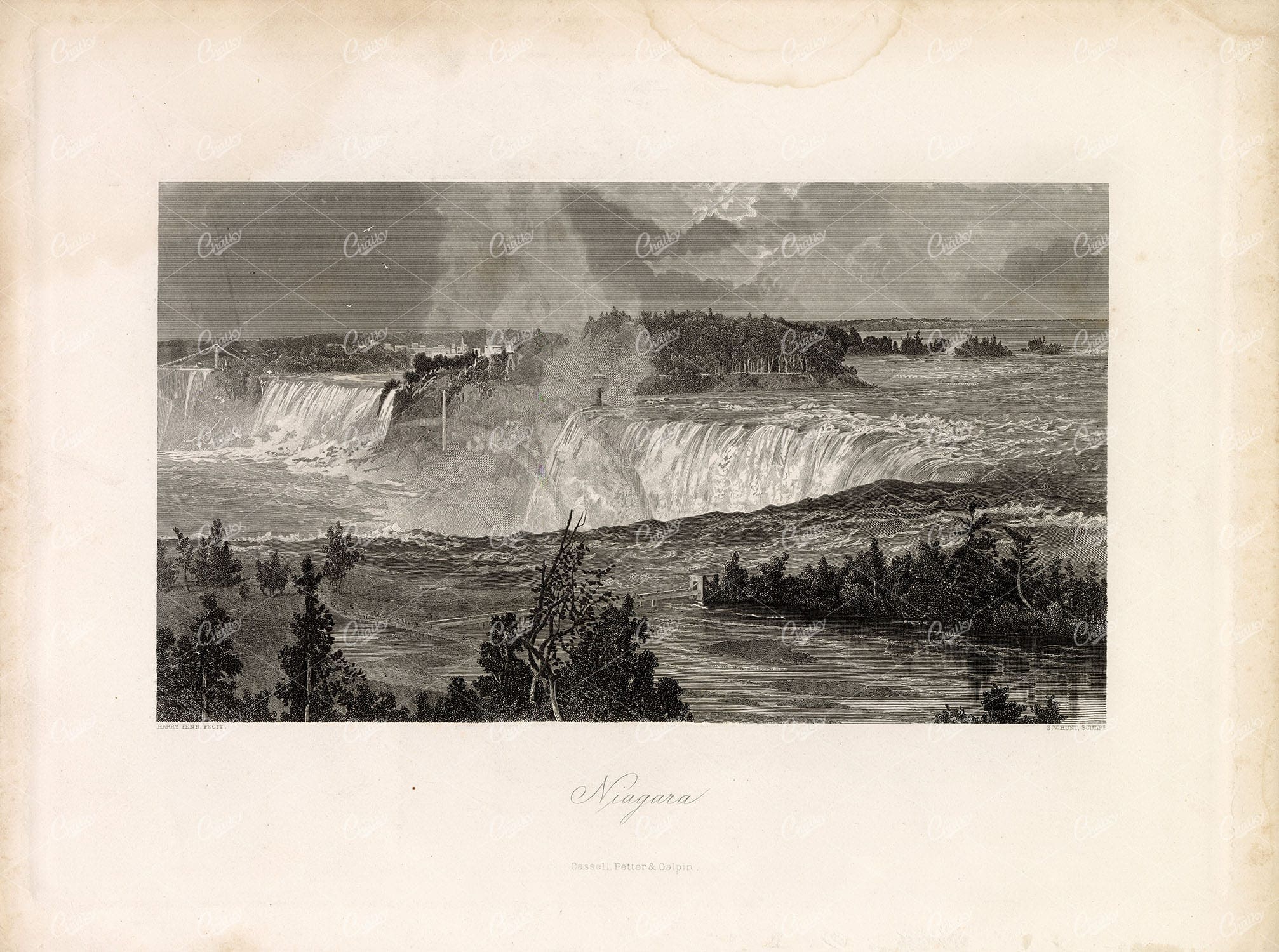
NIAGARA FALLS – Ontario, Canada – Antique 1874 Print
You're looking at a beautifully detailed engraved illustration from the 'Picturesque America' series. Published by D. Appleton and Company of New York in 1872 and 1874 and edited by the romantic poet and journalist William Cullen Bryant. The "Picturesque America; or, The Land We Live In. A Delineation by Pen and Pencil of the Mountains, Rivers, Lakes, Forests, Water-falls, Shores, Cañons, Valleys, Cities, and Other Picturesque Features of Our Country. With Illustrations on Steel and Wood, by Eminent American Artists" series was published and delivered as a subscription; semi-monthly parts were sent out to subscribers. Once complete, the subscription would be bound into volumes. The stately, bound two volume set was proudly displayed in parlors of subscriber homes as a show of status. Engravers included Robert Hinshelwood (1812-1885), Edward Paxman Brandard (1819-1898), Samuel Valentine Hunt (1803-1893), William Wellstood (1819-1900), William Chapin (1802-1888), Henry Bryan Hall (1808-1884).
- License Info
- Resolution: 11146 x 8302 300dpi
- Year of Print: 1874
- Artist: D. Appleton
From this collection
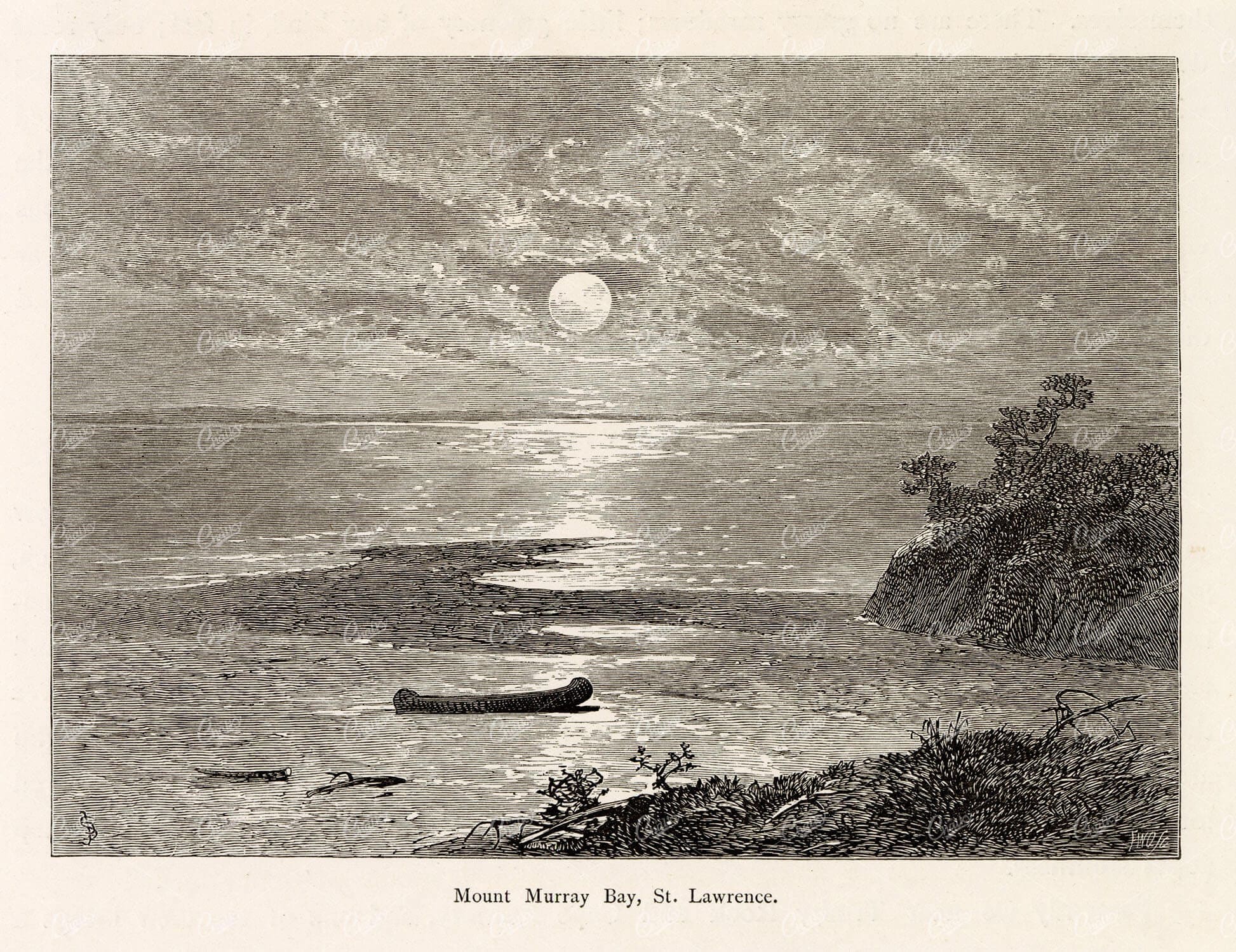
QUEBEC – Mount Murray Bay, St. Lawrence. Canoe Antique Print 1874
You're looking at a beautifully detailed engraved illustration from the 'Picturesque America' series. Published by D. Appleton and Company of New York in 1872 and 1874 and edited by the romantic poet and journalist William Cullen Bryant. The "Picturesque America; or, The Land We Live In. A Delineation by Pen and Pencil of the Mountains, Rivers, Lakes, Forests, Water-falls, Shores, Cañons, Valleys, Cities, and Other Picturesque Features of Our Country. With Illustrations on Steel and Wood, by Eminent American Artists" series was published and delivered as a subscription; semi-monthly parts were sent out to subscribers. Once complete, the subscription would be bound into volumes. The stately, bound two volume set was proudly displayed in parlors of subscriber homes as a show of status. Engravers included Robert Hinshelwood (1812-1885), Edward Paxman Brandard (1819-1898), Samuel Valentine Hunt (1803-1893), William Wellstood (1819-1900), William Chapin (1802-1888), Henry Bryan Hall (1808-1884).
- License Info
- Resolution: 6100 x 4700
- Year of Print: 1874
- Artist: D. Appleton
From this collection
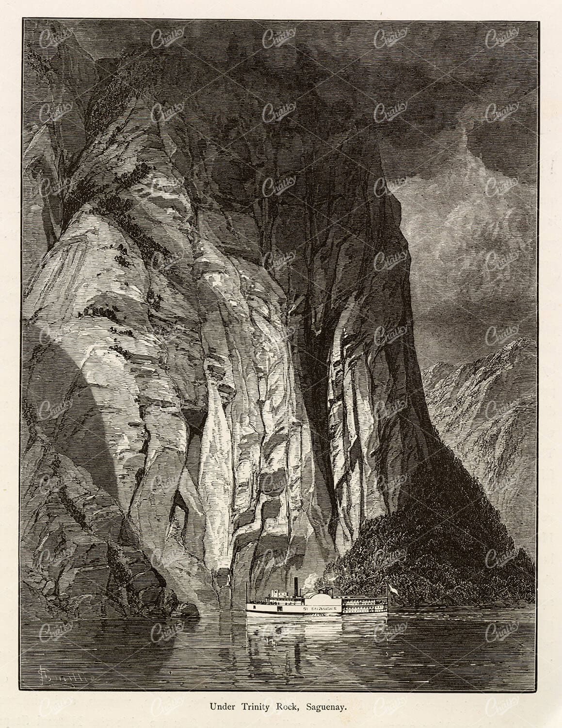
ANTIQUE Print Under Trinity Rock, Saguenay, Quebec – Picturesque America
You're looking at a beautifully detailed engraved illustration from the 'Picturesque America' series. Published by D. Appleton and Company of New York in 1872 and 1874 and edited by the romantic poet and journalist William Cullen Bryant. The "Picturesque America; or, The Land We Live In. A Delineation by Pen and Pencil of the Mountains, Rivers, Lakes, Forests, Water-falls, Shores, Cañons, Valleys, Cities, and Other Picturesque Features of Our Country. With Illustrations on Steel and Wood, by Eminent American Artists" series was published and delivered as a subscription; semi-monthly parts were sent out to subscribers. Once complete, the subscription would be bound into volumes. The stately, bound two volume set was proudly displayed in parlors of subscriber homes as a show of status. Engravers included Robert Hinshelwood (1812-1885), Edward Paxman Brandard (1819-1898), Samuel Valentine Hunt (1803-1893), William Wellstood (1819-1900), William Chapin (1802-1888), Henry Bryan Hall (1808-1884).
- License Info
- Resolution: 5900 x 7700
- Year of Print: 1874
- Artist: D. Appleton
From this collection
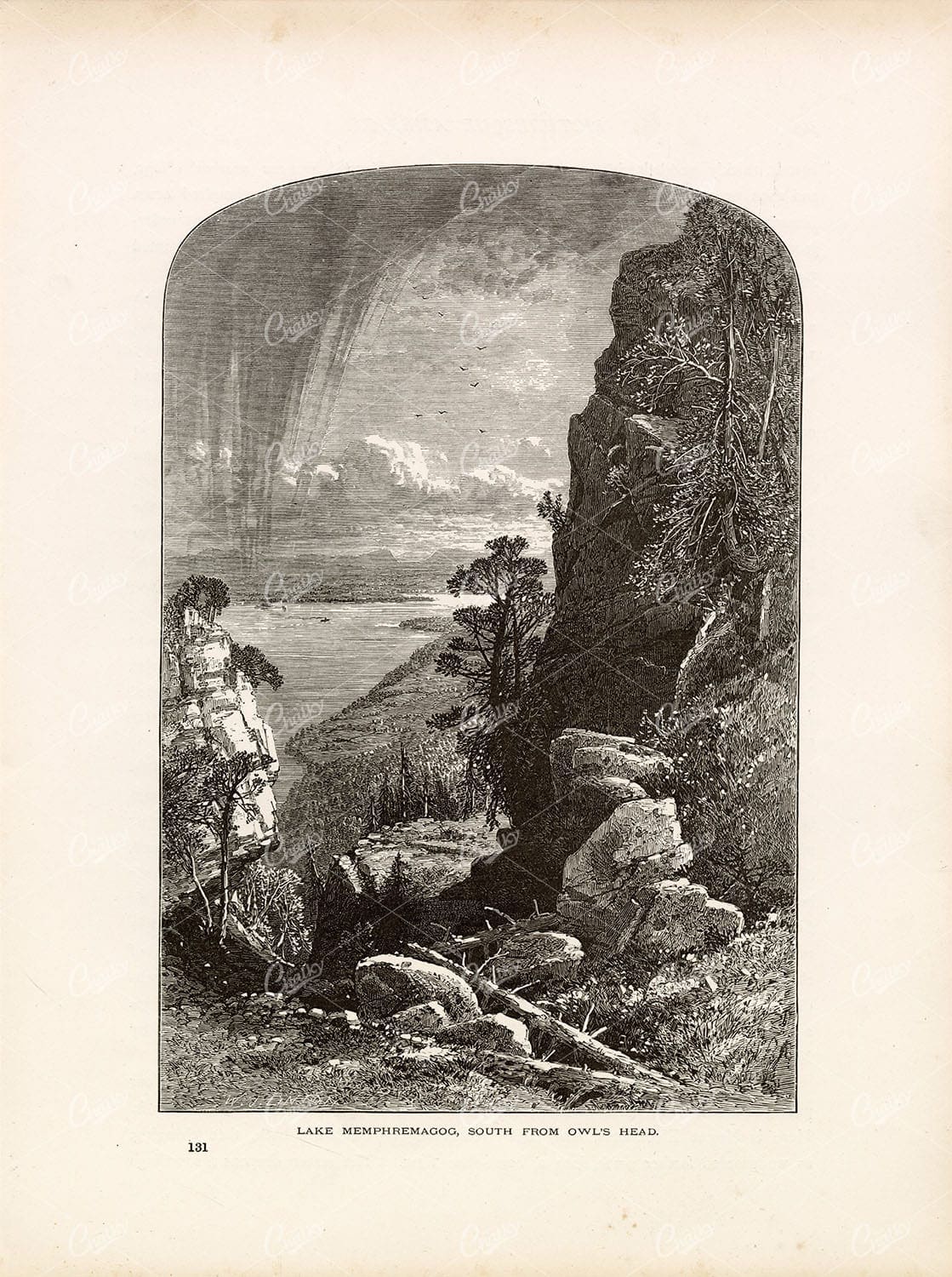
LAKE MEMPHREMAGOG South from Owl’s Head – Quebec, Canada – 1874 Print
You're looking at a beautifully detailed engraved illustration from the 'Picturesque America' series. Published by D. Appleton and Company of New York in 1872 and 1874 and edited by the romantic poet and journalist William Cullen Bryant. The "Picturesque America; or, The Land We Live In. A Delineation by Pen and Pencil of the Mountains, Rivers, Lakes, Forests, Water-falls, Shores, Cañons, Valleys, Cities, and Other Picturesque Features of Our Country. With Illustrations on Steel and Wood, by Eminent American Artists" series was published and delivered as a subscription; semi-monthly parts were sent out to subscribers. Once complete, the subscription would be bound into volumes. The stately, bound two volume set was proudly displayed in parlors of subscriber homes as a show of status. Engravers included Robert Hinshelwood (1812-1885), Edward Paxman Brandard (1819-1898), Samuel Valentine Hunt (1803-1893), William Wellstood (1819-1900), William Chapin (1802-1888), Henry Bryan Hall (1808-1884).
- License Info
- Resolution: 8213 x 11013 300dpi
- Year of Print: 1874
- Artist: D. Appleton
From this collection
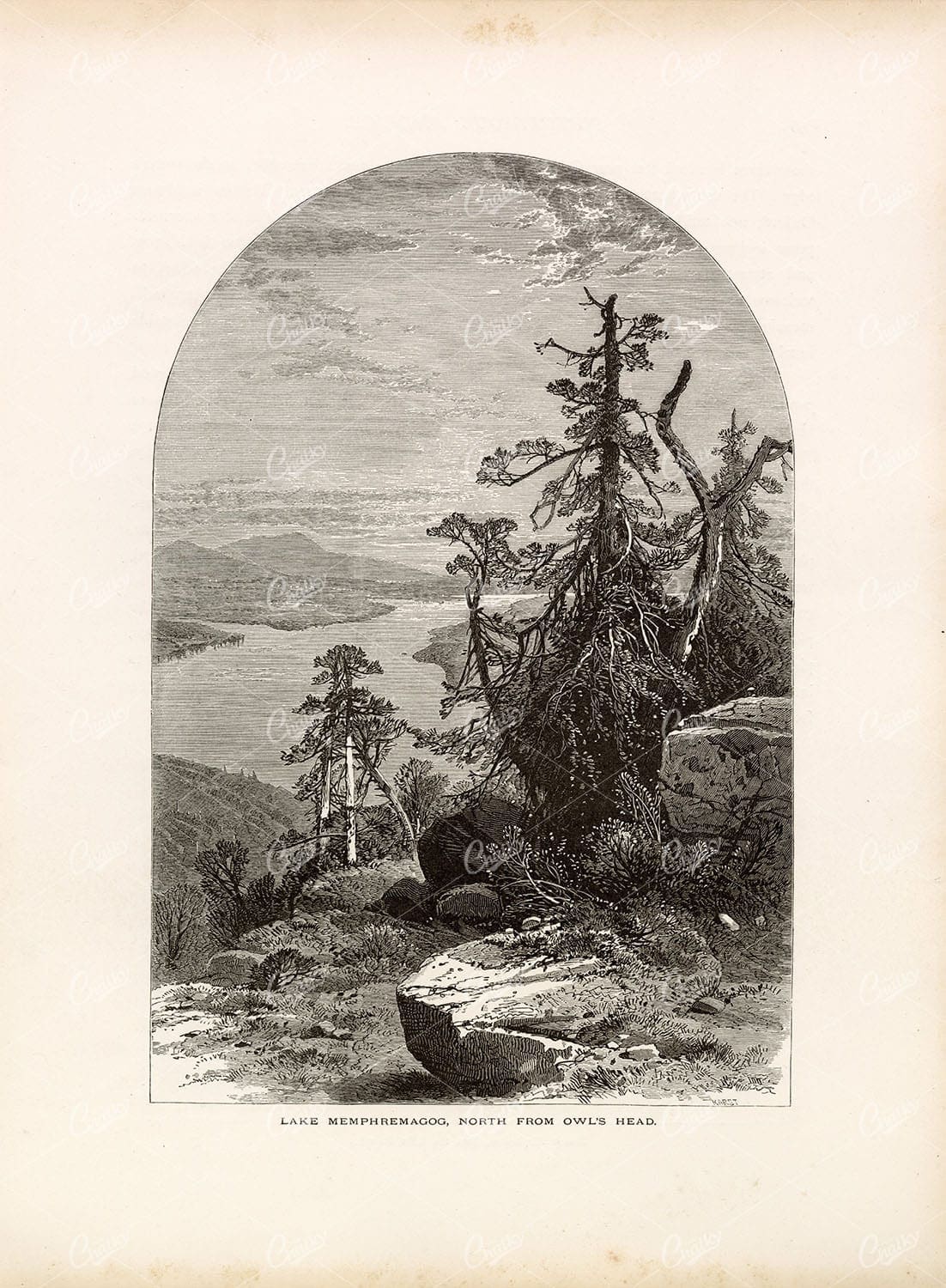
LAKE MEMPHREMAGOG – North from Owl’s Head – Quebec Canada – 1874 Art
You're looking at a beautifully detailed engraved illustration from the 'Picturesque America' series. Published by D. Appleton and Company of New York in 1872 and 1874 and edited by the romantic poet and journalist William Cullen Bryant. The "Picturesque America; or, The Land We Live In. A Delineation by Pen and Pencil of the Mountains, Rivers, Lakes, Forests, Water-falls, Shores, Cañons, Valleys, Cities, and Other Picturesque Features of Our Country. With Illustrations on Steel and Wood, by Eminent American Artists" series was published and delivered as a subscription; semi-monthly parts were sent out to subscribers. Once complete, the subscription would be bound into volumes. The stately, bound two volume set was proudly displayed in parlors of subscriber homes as a show of status. Engravers included Robert Hinshelwood (1812-1885), Edward Paxman Brandard (1819-1898), Samuel Valentine Hunt (1803-1893), William Wellstood (1819-1900), William Chapin (1802-1888), Henry Bryan Hall (1808-1884).
- License Info
- Resolution: 8165 x 11117 300dpi
- Year of Print: 1874
- Artist: D. Appleton
From this collection
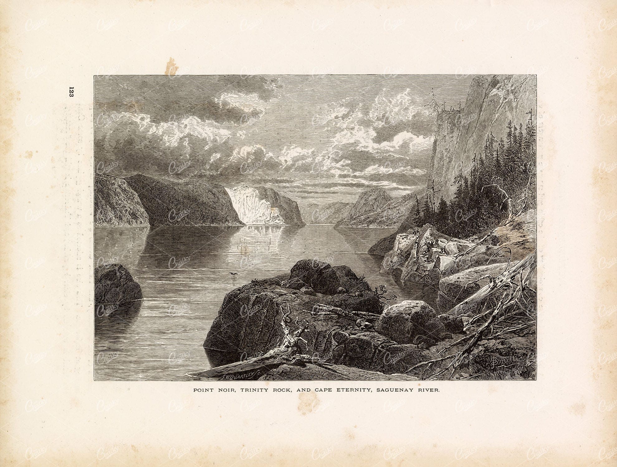
SAGUENAY River Bank, Quebec, Canada – Picturesque Lake Print 1874
You're looking at a beautifully detailed engraved illustration from the 'Picturesque America' series. Published by D. Appleton and Company of New York in 1872 and 1874 and edited by the romantic poet and journalist William Cullen Bryant. The "Picturesque America; or, The Land We Live In. A Delineation by Pen and Pencil of the Mountains, Rivers, Lakes, Forests, Water-falls, Shores, Cañons, Valleys, Cities, and Other Picturesque Features of Our Country. With Illustrations on Steel and Wood, by Eminent American Artists" series was published and delivered as a subscription; semi-monthly parts were sent out to subscribers. Once complete, the subscription would be bound into volumes. The stately, bound two volume set was proudly displayed in parlors of subscriber homes as a show of status. Engravers included Robert Hinshelwood (1812-1885), Edward Paxman Brandard (1819-1898), Samuel Valentine Hunt (1803-1893), William Wellstood (1819-1900), William Chapin (1802-1888), Henry Bryan Hall (1808-1884).
- License Info
- Resolution: 11088 x 8399 300dpi
- Year of Print: 1874
- Artist: D. Appleton
From this collection
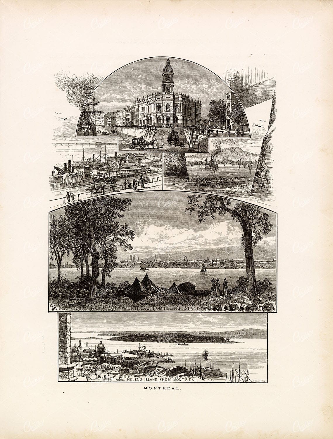
MONTREAL Quebec – Helen’s Island, Custom House, Paddle Steamers 1874
You're looking at a beautifully detailed engraved illustration from the 'Picturesque America' series. Published by D. Appleton and Company of New York in 1872 and 1874 and edited by the romantic poet and journalist William Cullen Bryant. The "Picturesque America; or, The Land We Live In. A Delineation by Pen and Pencil of the Mountains, Rivers, Lakes, Forests, Water-falls, Shores, Cañons, Valleys, Cities, and Other Picturesque Features of Our Country. With Illustrations on Steel and Wood, by Eminent American Artists" series was published and delivered as a subscription; semi-monthly parts were sent out to subscribers. Once complete, the subscription would be bound into volumes. The stately, bound two volume set was proudly displayed in parlors of subscriber homes as a show of status. Engravers included Robert Hinshelwood (1812-1885), Edward Paxman Brandard (1819-1898), Samuel Valentine Hunt (1803-1893), William Wellstood (1819-1900), William Chapin (1802-1888), Henry Bryan Hall (1808-1884).
- License Info
- Resolution: 8437 x 11112 300dpi
- Year of Print: 1874
- Artist: D. Appleton
From this collection
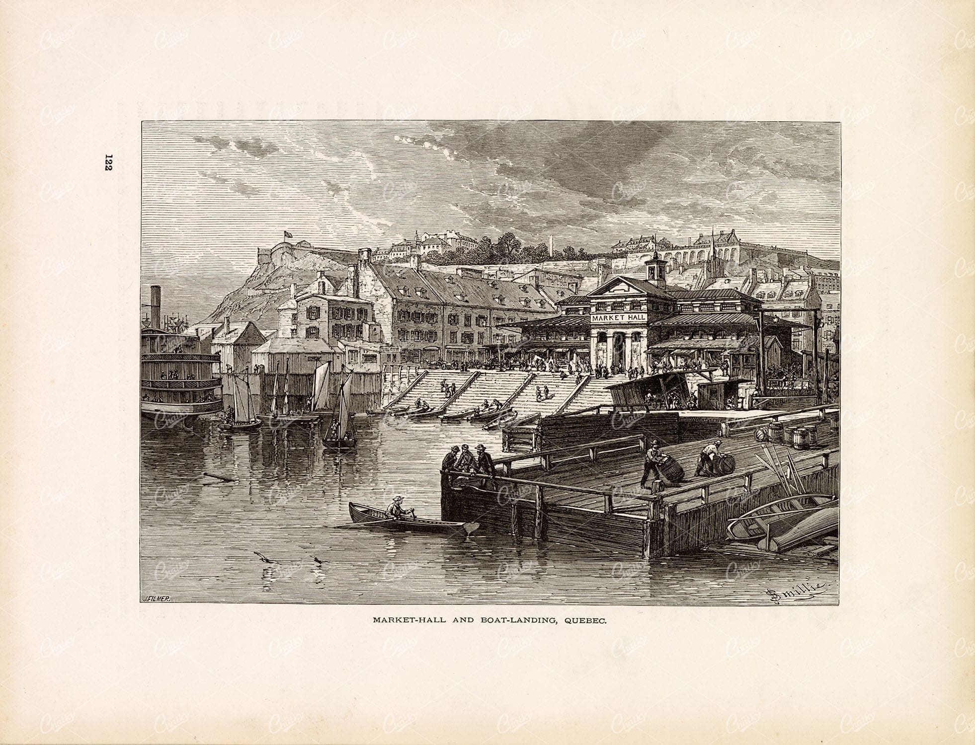
QUEBEC, Canada – Market Hall and Boat Landing – 1874 Original Print
You're looking at a beautifully detailed engraved illustration from the 'Picturesque America' series. Published by D. Appleton and Company of New York in 1872 and 1874 and edited by the romantic poet and journalist William Cullen Bryant. The "Picturesque America; or, The Land We Live In. A Delineation by Pen and Pencil of the Mountains, Rivers, Lakes, Forests, Water-falls, Shores, Cañons, Valleys, Cities, and Other Picturesque Features of Our Country. With Illustrations on Steel and Wood, by Eminent American Artists" series was published and delivered as a subscription; semi-monthly parts were sent out to subscribers. Once complete, the subscription would be bound into volumes. The stately, bound two volume set was proudly displayed in parlors of subscriber homes as a show of status. Engravers included Robert Hinshelwood (1812-1885), Edward Paxman Brandard (1819-1898), Samuel Valentine Hunt (1803-1893), William Wellstood (1819-1900), William Chapin (1802-1888), Henry Bryan Hall (1808-1884).
- License Info
- Resolution: 11101 x 8486 300dpi
- Year of Print: 1874
- Artist: D. Appleton
From this collection
Support the Library
Our supporters and members help us continue collecting and restoring these wonderful pieces of art for the modern creator
Unlock Everything and Become a Member!
While a lot of the library is available for free, some is kept behind closed dusty doors only to be accessed by our lovely members.